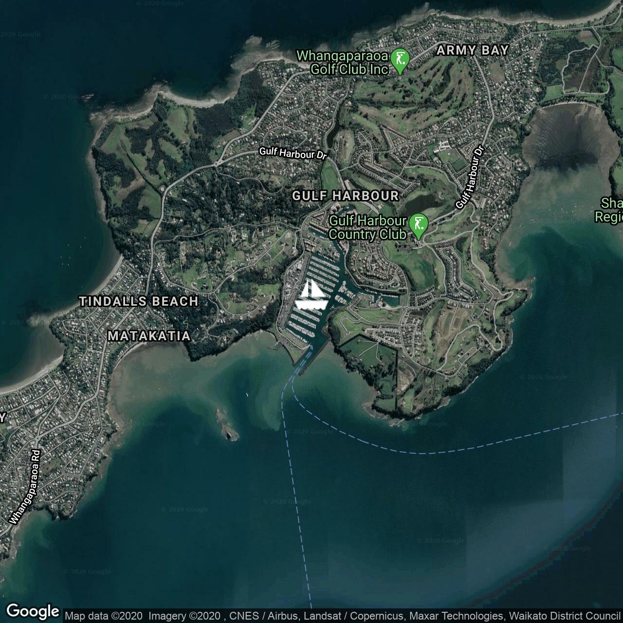
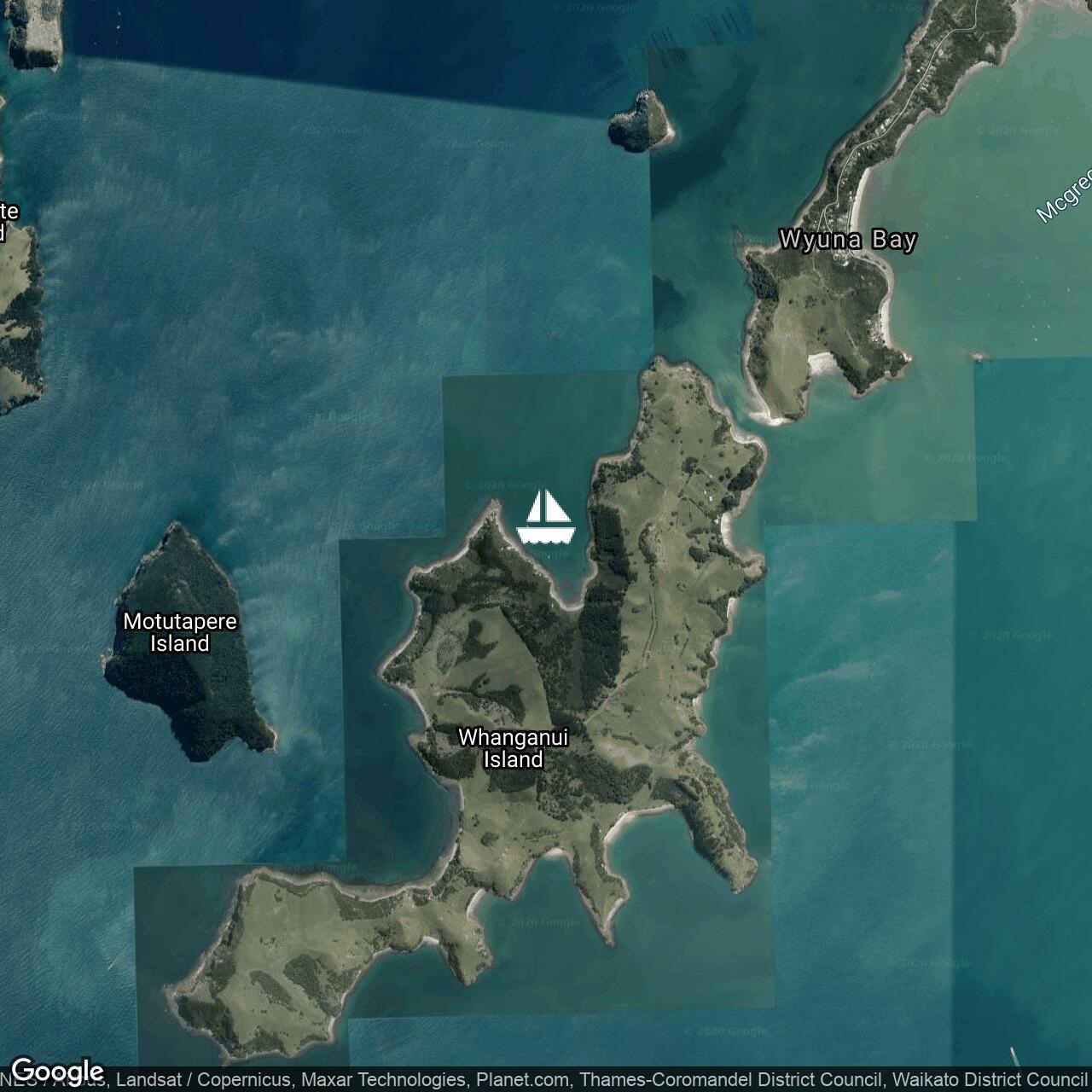
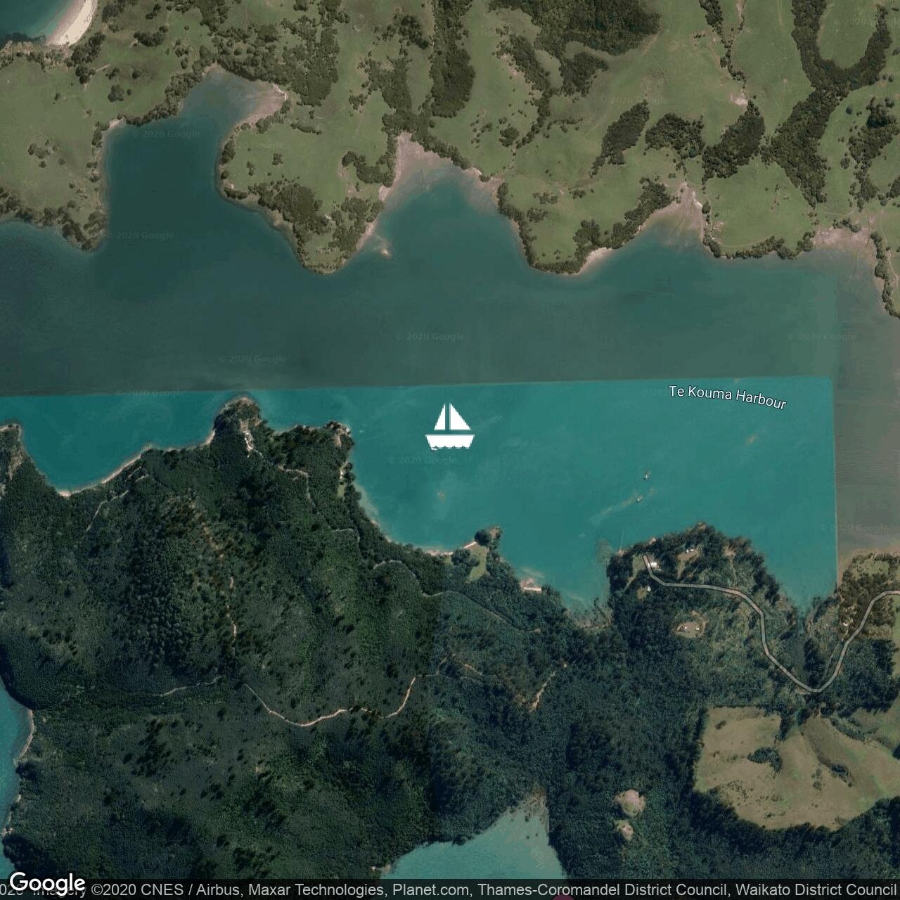
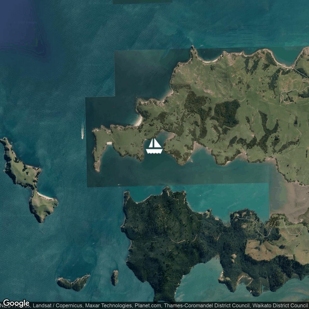
Distracted
Followbavaria 42 cruiser --

1/1
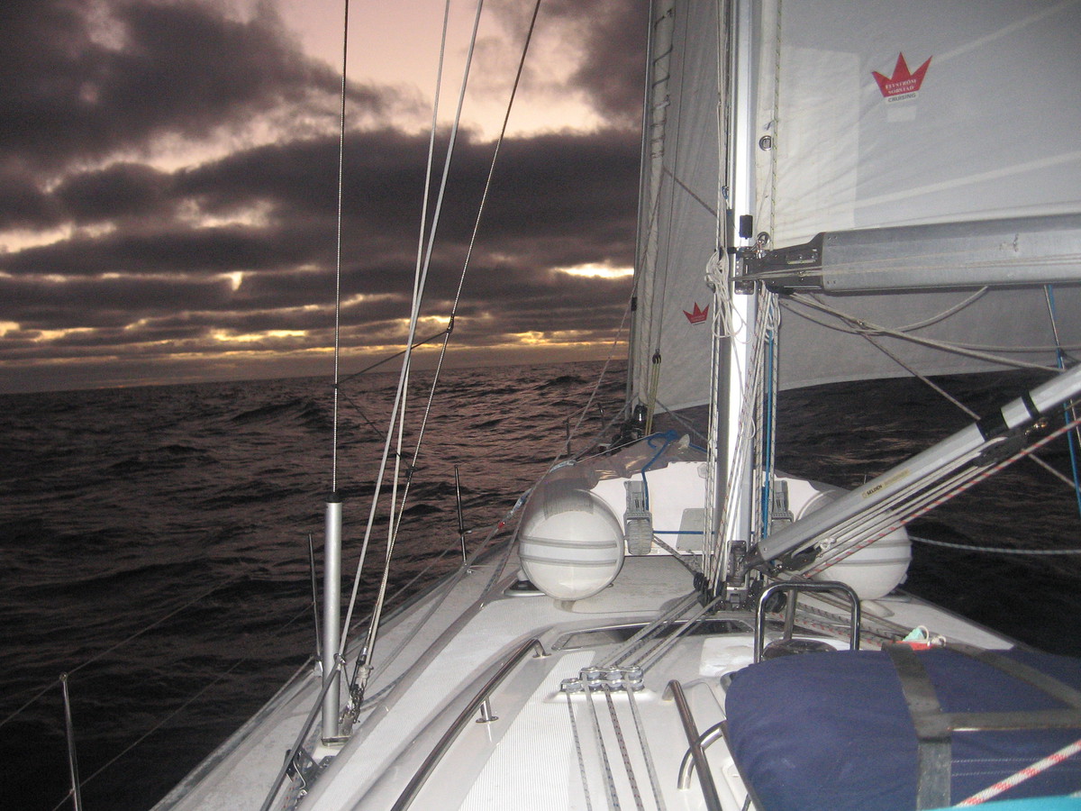
For whatever we lose (like a you or a me), it's always ourselves we find in the sea.
bavaria 42 cruiser --