Iolea

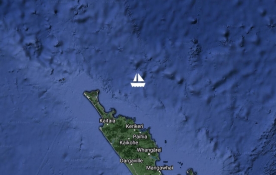
Had a glorious sail down from Bay of Islands in a 10-15 knot ENE with a 1m swell from NE. As good as it ever gets in NZ. Will chill here a few days until we haul out at Norsand on the 12th.

Settled in at Opua Marina after one of our best passages to NZ. We arrived yesterday evening. Discovered our drift has an error of around 1 knot so some of those currents we were seeing were not quite as strong as we first thought. Still, taking our error into account, the currents were in the 2-3 knot range going west at times. Good to be here!
Hi guys, sorry we didn't get

Avg: 8.1knts
24hr: 194.2nm
The last 24hrs of sailing were as good as it ever gets, 10-15 knot easterly with virtually no swell, it was like sailing on a lake. Our ETA on the Q-Dock at Opua is 6pm this evening.

Avg: 7.3knts
24hr: 174.4nm
A glorious night of sailing in a 15 knot easterly with relatively settled seas. The persistent 2-3 knot drift to the west this passage due to west setting current and sea state prompted us to calculate the average course offset we have needed to maintain to counter that drift. It turned out to be a whopping 30-35 degrees. That is well beyond our wildest expectations and that of all four models used by Predict Wind. Those four models all suggested we would be close hauled for around 30% of the trip, but that course offset required to counter the drift to the west has resulted in a passage that is 100% close hauled; despite all of the models? predictions for wind direction being pretty good! All is well aboard.

Avg: 6.6knts
24hr: 157.4nm
A boisterous night of sailing in 25 knots of E-ESE winds with crappy seas and that damn persistent 2-3 knots of west setting current. All is well aboard.
Avg: 4.7knts
24hr: 112.5nm
Spent the night motor sailing on a course of around 170T, very slow going, wind is in a horrible direction for getting to NZ, swell is no better, and of course there is that ever present west setting current which is anywhere from 1 up to 3 knots. Still all said it is not uncomfortable and all is well aboard.
Got the date wrong of last post so reposting with today's date. Sea state has deteriorated, looks like rain coming, been motor sailing overnight, thinking about tacking south and sailing again soon..
Avg: 6.2knts
24hr: 147.7nm
Sea state has deteriorated, looks like rain coming, been motor sailing overnight, thinking about tacking south and sailing again soon..
Avg: 5.7knts
24hr: 136.5nm
Sea state has settled making for some lovely over night sailing, with winds generally ranging 8-12 knots, with no squalls. Not seen any traffic so far this voyage. All is well aboard. A cracked fresh water fitting did generate a bit of activity for a while though. Took us a while to realise this was the cause of the bilge pumps coming on so often; all up we lost around 300 litres of water into the bilge; whilst annoying we still have another 500 litres left and we were able to eventually track down and stop the leak so all good now.
Avg: 3.6knts
24hr: 87.4nm
Usual first day. tiring but fine. Took NC a little too close to its eastern shelf and ran into 4knot current and nasty sea but ok. Just would give it a wider berth next time.
Ready to head to NZ tomorrow morning at last.
Waiting for a weather window to head to NZ but doesn't look likely for another week so enjoying the sunshine and doing boat jobs.
We arrived a week ago from Port Vila and are lapping up the wonderful food in restaurants and supermarkets. Noumea is like being in the eastern suburbs of Sydney but with a lovely French twist.
In Port Vila waiting for batteries to be delivered from NZ.
Arrived Luganville 9 June after a long motorsail into SE-S winds but otherwise easy trip. Good to be back in the big smoke.
Avg: 3.9knts
24hr: 92.6nm
Dnendo Island, Santa Cruz. Greeted by Moses who was fishing in his dugout and shown where the yachts anchor. Another picturesque bay and very quiet. I don't know how we will cope with civilisation when we get there. Even Honiara was pretty low key.
Marau Sound, Guadalcanal Island. Beautiful area home to the two Joe's and two Gus's. The Joe's traded citrus, beans and stories for flour, soap, and clothes. The two Gus's run the Tavanipupu resort. We snorkelled off the resort and saw a devil scorpion fish that looked exactly like the dead coral around it, and the most amazing scarlet-orange anemone with two Spinecheek anemone fish.
Honiara. Arrived a couple of days ago and enjoying eating out and good internet. Honiara not as bad as its reputation. People friendly and helpful. Will head on east over the weekend probably.
Mbilie. Saw our first Manta Ray on arrival. Milton greeted us and helped with anchoring. Nice layback area which is very beautiful. Lisa runs a dive operation on Tambapeava Island and is a mine of information.
Batuna. Pretty village and good market on Thursdays.
Matiu Island. good diving and snorkelling along the wall but keep an eye out for sharks. Seems to be a gathering area and they were quite active around 50 metres off the west of Matiu.
Matimbako Island. Lots of bombies and took some unravelling to get the chain up but really nice snorkelling in the pass on the western side and along the wall on Karikana island. Spectacular Gorgan Fan garden off Kemu island.
LuLu's island. Lulu is a delightful rastifarian local with lovely little carvings, produce, and lobster. He and is friends were all friendly but not pushy - just plain nice people.
Uepi Resort. Giant versions of reef fish we have seen elsewhere. We contacted the Resort beforehand and were able to have lunch yesterday, lobster wraps and apple cake, both excellent. Dive today.
Seghe, small village, large airstrip and Lagoon side bar run by a woman who has lived in Bathurst and Nambucca Heads
Matikuri Island. We had been looking forward to the locally run lodge here but unfortunately the owner died recently and it seems to be closed.
Viru Harbour. For the first time met by women in acanoes wanting to trade f&v for school books and pencils. Nice change from carvers.
Egholo Bay. Met by Boise who arranged a show of carvings, eggs and f&v. Beautiful bay and lovely people as usual.
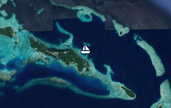
Munda. We celebrated Paul's 55th with Rod and Brenda on State of Mind Last night. Another picturesque anchorage with mountainous Rendova island as the backdrop.
Lola. island and the easy company of Jo and Lisa at Zipolo Habu Resort. A tranquil setting with a regular evening show of reef sharks, and mullet stirring up schools of fish. Could have happily stayed there foer a week or two.
Gizo with 7 other yachts. The most they have seen this season.

Fat boys resort and our second cooked meal off the boat. So nice to have someone else do it. We stopped in at Sanbis just north of here for pizza a couple of days later and had a long chat with Hanz the owner.

Avg: 3.8knts
24hr: 92.4nm
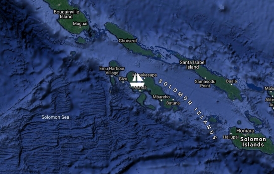
Noro, Solomon Islands for check-in after squall- ridden but otherwise uneventful passage.

Avg: 3.3knts
24hr: 80.2nm
Kosrae. A pleasant stop with easy bureaucracy. Tree House Hotel and its river side restaurant are great value.
Just south of Ebeye is some excellent snorkelling. We wish we had found this earlier. We left for Kosrae the next day.
Nell island pass. Fabulous drift snorkelling and walks across the islands and passes to the west. ( mum's birthday)
Bigij on Kwajalein. Nice getaway spot.
Ebeye island on Kwajalein Atoll. Much maligned but a pleasant surprise. Poor people but happy and basic foodstuffs available. Note: no ATM and bank will not change currency so bring what you need.
Roi-Namur on Kwajalein Atoll is a US military base for tracking satellites etc. no entry beyond the dock without permission.
Enyu on Bikini. Abandoned buildings and construction equipment. Nice reef off the airstrip
Bikini island, Bikini Atoll. Nothing out of the ordinary but still a sense of a cloud overhead.
Tufa island, Rongelap. Good staging spot for Bikini but a bit rolly in northerly winds.
Eniaetok or Long Island which was formed by a rock hitting a bird in flight and breaking its left wing. Great anchorage with protection from northeast to east. Good beachcombing.
Rongelap island and the potential township
Rongerlap, fabulous snorkelling in the pass to our south
Eniwetak in south Rongerik, large turtle and pretty bommies
Rongerik and into the wilderness. Wonderful!
No blogs available for this yacht.
