Saraoni
FollowSouth Coast 36 ketch
We left NZ in 2006 and returned in 2015. We circumnavigated the world via Australia, Asia, the Red Sea, the Med, South America, the Caribbean and islands of the Pacific, including the Galapagos, The Marquesas, French Polynesia, Suwarrow in the Cooks and Tonga. Currently in New Caledonia after leaving Saraoni at Port Ouenghi Marina for 3 months of the cyclone season. We are circumnavigating New Caledonia in 2018 and hope to get Saraoni back to NZ in October as we are now looking for another boat after nearly 20 years living aboard Saraoni and 12 more before that on our kauri classic, "Corsair"; Check out our adventures at https://www.sailblogs.com/member/saraoni/ They are many and varied. Call sign: MNXA5; Email saraoni@gmail.com
Recent Updates
Saraoni is now up for sale as we have bought a newer, larger yacht. see this link https://yachthub.com/list/yachts-for-sale/used/sail-monohulls/south-coa…
At Jacob's Well. Not too busy despite the holiday season.
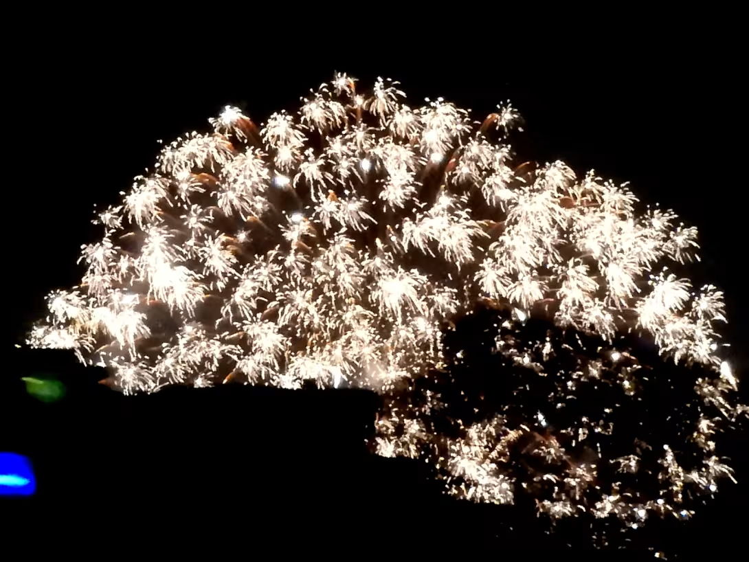
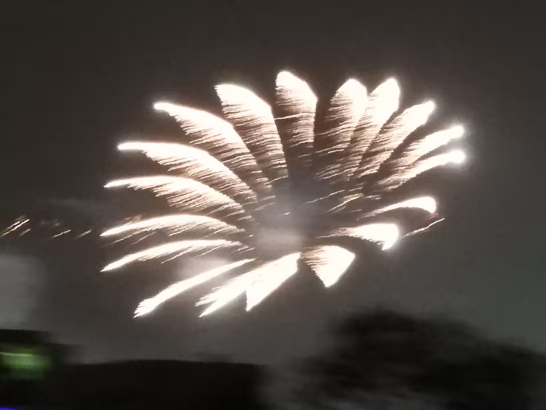
Spent New Year's Eve on the Brisbane River.
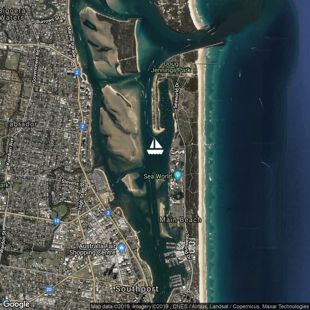
Anchored off New Farm, Brisbane for New Year's eve.
Anchored off New Farm, Brisbane for New Year's eve.
Nice anchorage at uninhabited Peel island.
Left the Great Sandy Strait yesterday over a bumpy Wide Bay Bar. Now just off Mooloolabah on way to Moreton Bay.
On the way into Tin Can Bay. Not expecting too much wind from ex TC Owen.
Beautiful day up the Burnett River. 70 boats in The Go West rally have been enjoying rally events in Port Bundaberg Marina. Some will be heading south when the wind drops in a day or 2.
Back up the Burnett River for a few days. Sharing the river with flocks of birds.
Great weather to arrive in Australia. No thunderstorms.
88 nm to the Breaksea Spit light north of Sandy Cape. No shipping sighted yet. Hope to be at Port marina, Bundaberg Thursday morning.
Sent from Iridium Mail & Web.
Sent from Iridium Mail & Web.
210 nm to the Breaksea Spit light north of Sandy Cape. Trough passed through over night with lightning, rain and the return of the trades. Bye bye nice, flat sea!