Irie II
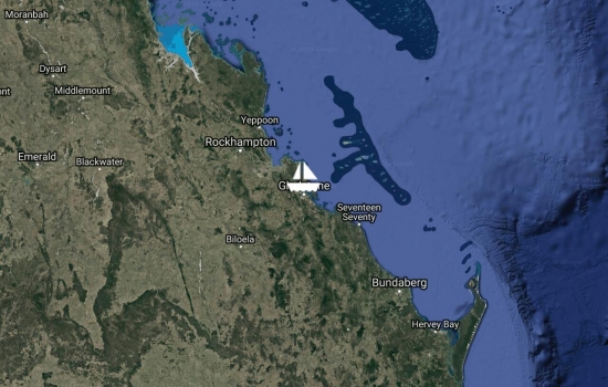
Left Airle Beach on the 7th, then anchored at Shaw, Lindeman, Brampton Is, then docked at MacKay Marina for a couple nights, then anchored at Curlew, Marble Is., Delcomyn Bay, Great Keppel Is, South Curtis Island, then last week when leaving Curtis the winds were a lot stronger then the forecast and from the direction I wanted to go, so detoured to Gladstone Marina to wait for better conditions and to find out why the radar quit working. Now radar fix and the wx improving so will be doing an overnighter for Bundaburg on Tue.

Party over. Cruising season has come to an end. Will start heading south from the Whitsundays area toward Brisbane/Scarborough today for cyclone season. About 500nm. Since I'm not in a hurry, might take a month.
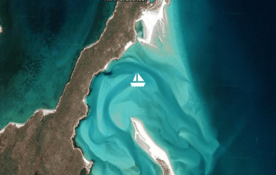
Stop for the best beach ever.
Well that didn't take very long. The nice weather will be over with tonight, high winds with rain. So not to get caught out in the middle of nowhere in that mess, will be sailing back to the Whitsunday group and look for a place to ride out the bad stuff. Got to dive yesterday, what a disappointment.

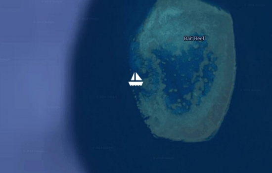
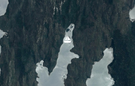
Now anchored inside Hook Reef, next Bait and Harvey Reefs. Will be here until the weather gets bad or I run out of provisions. It finally feels like summer. Air 85, water 75. No wind No waves No problems.
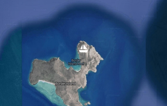
Now anchored off Border Island. Been hopping around the Withsunday Islands for the past week. Cid Harbor, Stonehaven, Butterfly Bay, Nara Passage and Macona Inlet, Hook Island. Will be heading for the Bait and Harvey Reefs for some diving/snorkeling at the GBR.
Now in Nara Passage, Hook Island. Been on a mooring off of Airlie Beach for about a month, Got new visa till March. Think I fix the chart slow redrawn. Was a Navionics file problem on the chip. Nav. Tech Support is also working with B&G to find out why the radar and fwd scan sonar mess with the charts?

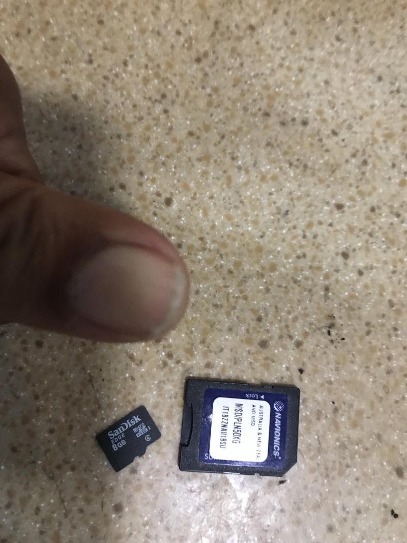
How can something smaller then your finger nail cause so many headaches? After several weeks of trouble shooting B&G stuff it was this little chart chip from Navionics that was the problem. Hope I can get them to pay for my new one.
Anchored Cid Harbor or Sawmill bay. Just depend on what chart you looking at. The MFd test this time was unplug everything from the back of it to make sure nothing like radar, autopilot, depth, speed, wind, wifi, bluetooth, etc was interfering. And same results. Take the chip out and MFd return to normal. Think I found the problem.
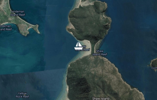
On the way to Shaw Is., switched chart chip with Phil, now his MFd is slower. I got his chip and mind is normal.
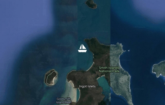
A little stop at Goldsmith.
That damn #3 Multi function Display is at it again, navionics charts taking anywhere from 30-60sec to redraw, sometimes not at all. And I don't have cell phone coverage to call tech support.
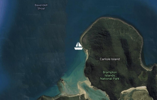
After a week in the marina had a nice sail to Carlisle Is. for a few days. Only problem a couple of miles from the marina the fricking new Chart Plotter started doing the same thing as the last one, won't redraw charts fast enough if at all. So more trouble shooting.
This is beginning to pissed me off.
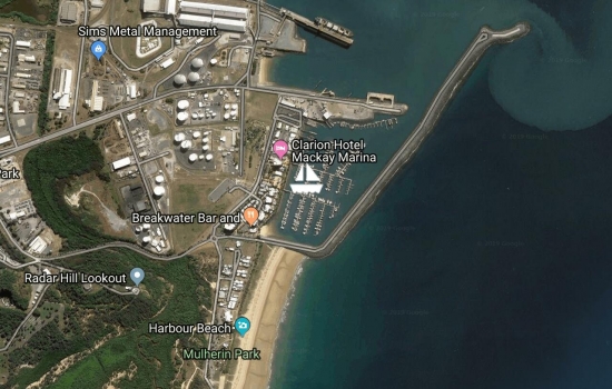
Curlew was nice but rolly and the winds was good for a nice slow sail to Purdhoe Is. So on Sunday late morning off we go. The book did say this anchorage was only to be used in settled weather, but by the time we got there the winds where coming from the SE instead of the NE like the forecast said. So a motor sail to Mackay Marina with a 2100 arrival. Now that B&G chart plotter decided to bite the dust, after tying up to the dock pwr off. Oh I needed to update my logbook and need info from CP, well the damn thing wont power up. Think I made it here just in time.
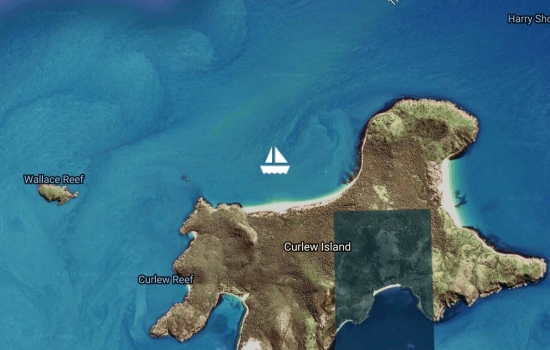
On Wed, left Island Head Creek for Hunter Is. Spent one night, really rolly. Next morning to Curlew Is. Arrive to a nice calm acorage. Night time it became one of the most rolly places I've been in. Just cause the winds was in the 20's. This place is a national park, only foot prints on the beach was ours. Only had one local boat in the anchorage with us, the rest of them heading north must have known about the swells finding their way here. B&G new chart plotter is now in Mackay, so hope to be there Mon.-Tue. to pick it up and hope it works.
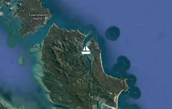
on Sun from Keppler I motored to Port Clinton then motored to Island Head Creek to wait out the blow thats expected today. Since we are way up the creek, not alotta wave action, just the sound of the wind in the rigging. Temperature dropping, might have something to do with a cold front. My 3rd Chart Plotter from B&G has been shipped to Mackay. the second one don't display charts, go figure.????
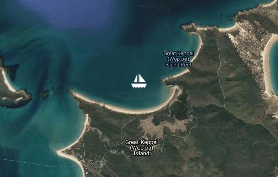
Sailed most of the way to Great Keppler Island. Light winds until the sea breeze kicked in. Spent a couple nights. Visit the resort for lunch. I must be in the tropics now, seen several naturally growing coconut trees, now if I can find a mango tree with fruit I'll be happy. This place is almost as rolly as the last. So will be moving on shortly further north looking for warmer waters. Also got a hot date with the B&G tech. in Mackay is the main reason for moving everyday.
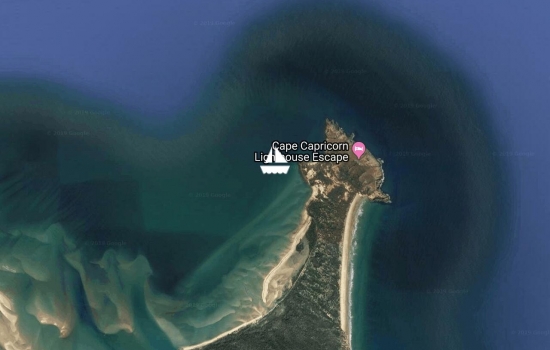
Next 40nm day hop carried me across the Tropic of Capricorn. I'm officially in the tropics, but the temps are still in the 20's/70's and colder at night. Anchored of a placed called Cape Capricorn for the night. It's way to rolly to stay any longer then necessary. Need to move north for warmer weather as soon as the sunrise.
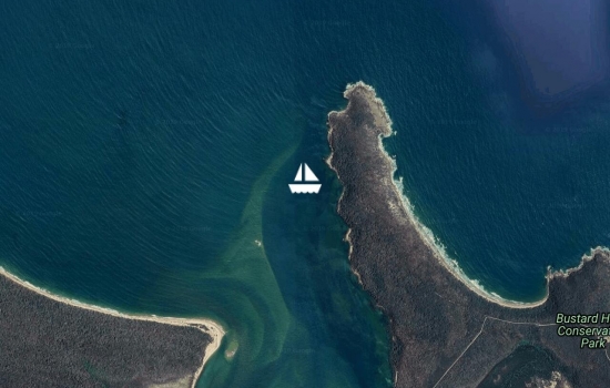
Picked up a mooring at the entrance to Pancake Creek after a good sail from Lady Musgrave Island. Undetermine how long we will stay here, hopefully only the night. Need to move north for warmer weather. Still in the 60's to low 70's.
Stayed almost a week at Lady M. with Silhouette, Tregoning and Bare Foot (the Americans). Had up to 2 dozen boats there at one time. After the bad weather went, so did the boats.
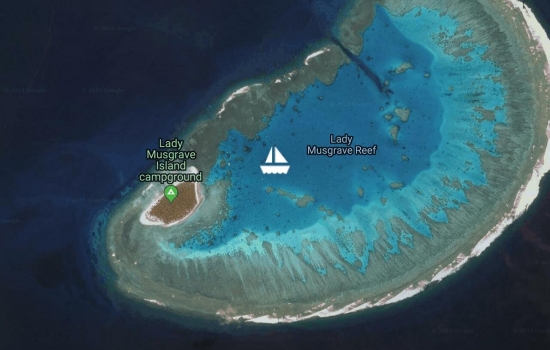
Anchored inside the atoll of Lady Musgrave Is. at the southern reaches of the Great Barrier Reef. 12 hour sail for 50nm mostly at night meant taking it easy and enjoy the ride. Been awhile since I've done a night sail was okay until the winds picked up to over 20, glad I alaready had the reef in the main, 'cause I would hate to do that in the rain. 100% clouds, look like rain on the way, might be stuck on the boat for awhile.
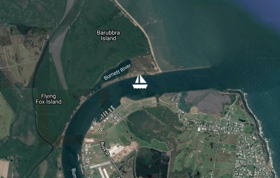
Anchored at the mouth of the Bundaburg river getting ready to sail to Lady Musgrave Is. at the souther reaches of the Great Barrier Reef. Trying to arrive at high tide means a midnight departure. Sure hope the water is warm.
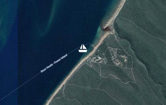
Anchored of the Kingfish Resort Fraser Island for a few days. Took a land tour to visit the rainforest on a sand dune. Will be headed to Bundy soon.
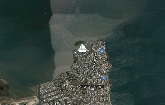
Departing Scarsborough Marine in the morning. Bundy in a few days.
Finish with all major projects. Almost. Now the waiting game starts, waiting on that almost perfect weather window to sail to New Caledonia and Vanuatu.
No blogs available for this yacht.