Pelorus 2

Sat Mar 24 18:05 2018 NZDT
GPS: 20.15 35.64s 148.41 45.78e
Run: 1577.7nm (2855.6km)
Weather: Raining and strong winds

Good holding in mud with plenty chain out


Sun Jul 30 15:07 2017 NZST
GPS: 14 09.648s 126 13.848e
Run: 74.1nm (134.1km)
Avg: 342knts
24hr: 8208nm
Weather: Clear sky,sunny and light winds

15-06-2017

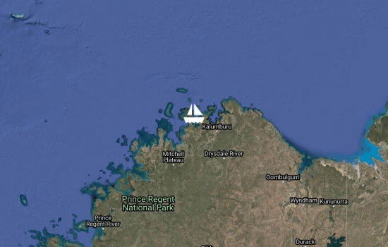
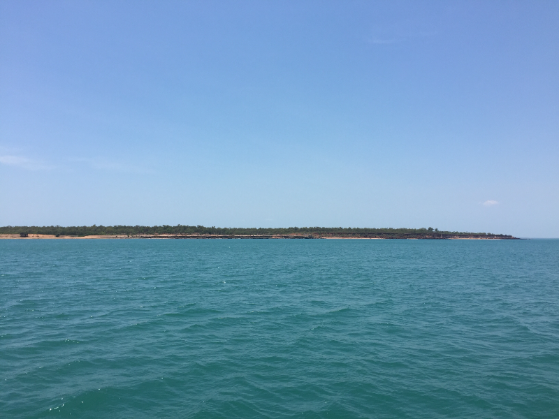
Anchored behind Jar Island

in Van Sittart bay


The beach at Jar Island
Sun Jul 30 14:54 2017 NZST
GPS: 14 02.269s 127 19.760e
Run: 35.8nm (64.8km)
Avg: 195.3knts
24hr: 4686.5nm
Weather: Sunny ,light winds

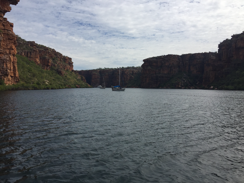
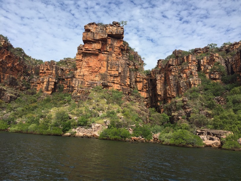
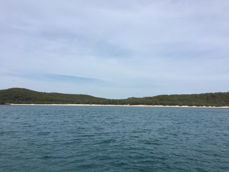
Anchored near the Twin falls

in King George river Wa.


King George river
King George river
Sun Jul 30 14:43 2017 NZST
GPS: 14 23.414s 127 43.267e
Run: 78.2nm (141.5km)
Avg: 234.6knts
24hr: 5630.4nm
Weather: Warm and sunny

18-05-2017

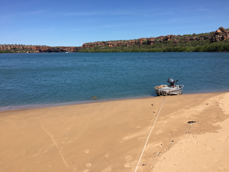
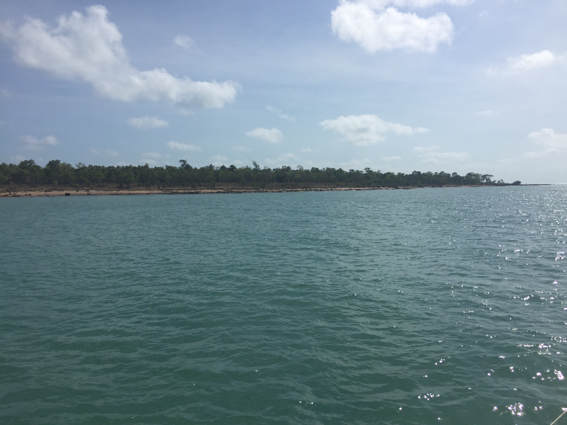
Anchored in Casuarina creek

Berkeley river Wa.


Casuarina creek
Casuarina creek
Sun Jul 30 14:23 2017 NZST
GPS: 15 27.753s 128. 05.783e
Run: 47.9nm (86.7km)
Avg: 159.7knts
24hr: 3832nm
Weather: Hot with light winds

14-05-2017

Anchored near Anthon's landing Wyndham Wa.


Anthon landing
Anthon landing
Sun Jul 30 14:05 2017 NZST
GPS: 14 49.758s 128 23.360e
Run: 124.9nm (226.1km)
Weather: Sunny ,light winds

12-05-2017

Anchored behind Cape Domett Wa.


Mon Jun 12 17:06 2017 NZST
GPS: 14 5.940s 126 40.894e
Run: 927.9nm (1679.5km)
Avg: 6.7knts
24hr: 161.5nm
Weather: Sunny,20 knots E/Se

Anchored in Honeymoon bay which is part of Napier broom bay Wa.


The beach at Honeymoon bay.
Tue Jun 6 23:12 2017 NZST
GPS: 13.54 216s 127.03 794e
Run: 887.1nm (1605.7km)
Avg: 4knts
24hr: 95.9nm
Weather: Sunny ,strong wind warning

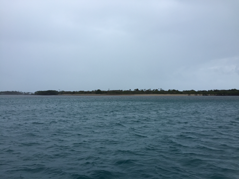
Anchored in Glycosmis Bay

which is in uncharted waters.

Two sand banks to avoid to get inside and one inside.


Sun May 28 17:15 2017 NZST
GPS: 14 2.269s 127 19.762e
Run: 36.3nm (65.7km)
Weather: Overcast ,wind Ne. 15-20knt.

Anchored near Twin falls in King George river Wa.


28-05-2017


Tue May 23 10:58 2017 NZST
GPS: 14 23.377s 127 43.851e
Run: 248.9nm (450.5km)
Weather: Sunny clear sky and a light Sw. Wind

Anchored near Casuarina creek in the Birkeley river Wa.

23-5-2017


Sun Nov 27 13:00 2016 NZDT
GPS: 12 26.910s 130 51.017e
Run: 1.5nm (2.7km)
Weather: Hot and humid

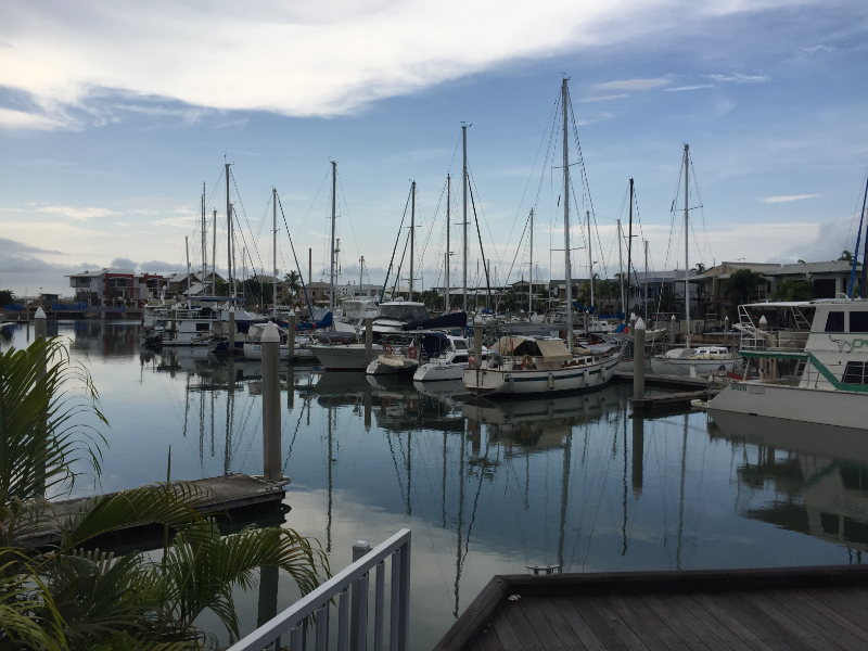
In Tipperary Waters Marina

Darwin . Staying here during the cyclone season


Sat Nov 12 13:39 2016 NZDT
GPS: 12 28.215s 130 51.347e
Run: 2.8nm (5.1km)
Weather: Sunny ,lightly overcast and a light Sw. Breeze

Anchored in Darwin harbour opp. Stokes Warf where it is calm and close to city centre.


Anchorage opp. stokes Warf
Sat Oct 29 12:00 2016 NZDT
GPS: 12 27.082s 130 49.166e
Run: 104.2nm (188.6km)
Weather: Overcast and very humid

28-10 Darwin at last, anchored in Fannie bay out from the sailing club


Thu Oct 27 12:23 2016 NZDT
GPS: 11 17.147s 131 47.813e
Run: 25nm (45.3km)
Weather: Overcast with showers

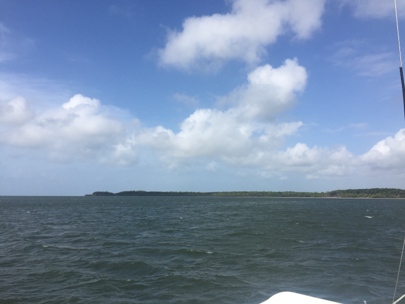
26-10 Anchored in Alcaro bay at Cape Don


Sun Oct 23 17:12 2016 NZDT
GPS: 11 09.448s 132 08.490e
Run: 22.9nm (41.4km)
Weather: Windy but beautiful sunny day

23-10 After a rough ride from Palm bay safely anchored around Black point ( port Essington)


Black point anchorage
Sat Oct 22 19:11 2016 NZDT
GPS: 11 07.633s 132 28.670e
Run: 26.9nm (48.7km)
Weather: Overcast ,showers and lucky it took the humidity away

22-10 anchored in Palm Bay at Croker isl.


As close in the bay as I could
Fri Oct 21 15:22 2016 NZDT
GPS: 11 23.207s 132 46.407e
Run: 43.5nm (78.7km)
Weather: Sunny ,nice breeze but humid

20-10 anchored behind Valentia isl.


Wed Oct 19 20:52 2016 NZDT
GPS: 11 39.135s 133 21.361e
Weather: Clear sky's ,sunny and a nice Ne. Breeze

Anchored in South west bay

South Goulburn isl


South west bay anchorage
Wed Oct 19 20:30 2016 NZDT
GPS: 11 39.135s 133 21.361e
Run: 61.7nm (111.7km)
Weather: Clear sky's ,sunny and a nice Ne. Breeze

Anchored in south west bay at South Goulburn isl.

A magic well protected bay


Anchorage at South Goulburn isl.
Mon Oct 17 12:56 2016 NZDT
GPS: 11 57.800s 134 12.661e
Run: 91.2nm (165.1km)
Weather: Sunny ,light breeze and humid

16-10 anchored behind Entrance isl. at the Liverpool river.


Along S side of the island
Thu Oct 13 19:53 2016 NZDT
GPS: 12 01.868s 135 33.529e
Run: 63.1nm (114.2km)
Weather: Hot and sunny with clear sky's

Anchored in an unnamed bay on the western side of Elcho isl. where the Galiwinku settlement is.


Galiwinku village in the back
Tue Oct 11 19:51 2016 NZDT
GPS: 11 33.350s 136 21.298e
Run: 19.3nm (34.9km)
Weather: Hot and humid

11-10-'16 after going thru the Hole in the wall ,anchored in an unnamed bay on Raragala isl.


Mon Oct 10 19:39 2016 NZDT
GPS: 11 46.559s 136 31.888e
Run: 31.4nm (56.8km)
Weather: Overcast with sunny periods

10-10-'16 anchored in an unnamed bay behined Wigram isl. Going thru the hole in the wall tomorrow


Wed Sep 28 16:15 2016 NZDT
GPS: 12 11.839s 136 42.239e
Run: 394.4nm (713.9km)
Weather: Hot and humid no rain

Anchored in Inverrel bay

Cove harbour


Inverrel bay
Inverrel bay
Mon Sep 19 19:57 2016 NZST
GPS: 10 50.920s 142 21.765e
Run: 95.6nm (173km)
Weather: Sunny ,light winds,no rain

Anchored at Seisia behind Red isl.


From the anchorage with the loading warf in the back
Fri Sep 16 13:58 2016 NZST
GPS: 11 57.330s 143 12.600e
Weather: Sunny,15knots Se, no rain

Anchored in Kennedy inlet

Newcastle bay


Fri Sep 16 13:58 2016 NZST
GPS: 11 57.330s 143 12.600e
Run: 98.8nm (178.8km)
Avg: 118560knts
24hr: 2845440nm
Weather: Sunny ,light overcast,no rain

Anchored in Margarett bay

Cape Grenville


Fri Sep 16 13:58 2016 NZST
GPS: 10 41.573s 142 31.535e
Run: 144.2nm (261km)
Weather: Overcast ,no rain

Anchored in Murangi islet

Cape York


The anchorage
The anchorage
Cape York
Cape York
Thu Sep 8 13:14 2016 NZST
GPS: 12 35.552s 143 24.458e
Run: 20.1nm (36.4km)
Weather: Sunny, blue sky,no rain

Anchored at Portlands road

In Weymouth bay


Tue Sep 6 17:05 2016 NZST
GPS: 12 52.787s 143 21.672e
Run: 880.2nm (1593.2km)
Avg: 18.3knts
24hr: 439.2nm
Weather: Overcast,strong Se .no rain

Anchored in Lockhart river

Lloyd bay


Lockhart river anchorage
Sun Sep 4 16:59 2016 NZST
GPS: 13.10 656s 143.34 391e
Run: 678nm (1227.2km)
Avg: 31knts
24hr: 744.7nm
Weather: Overcast,25 knots Se.wind,2.5mtr.seas

Anchored at Night isl.


Sat Sep 3 19:08 2016 NZST
GPS: 13.46 423s 143.37 983e
Run: 167.5nm (303.2km)
Avg: 3knts
24hr: 72.6nm
Weather: Sunny,light Ne.wind calm seas

Anchored at Wilkie isl.


Anchorage at Wilkie isl.
Thu Sep 1 11:46 2016 NZST
GPS: 14.10 496s 144.13 837e
Run: 316.3nm (572.5km)
Avg: 15.7knts
24hr: 377.4nm
Weather: Sunny,light winds,no rain

Sept.01-2016 Anchored in Owen channel at Flinders isl.


Wed Aug 31 15:39 2016 NZST
GPS: 14.15 230s 144.18 750e
Run: 754.5nm (1365.6km)
Avg: 37.6knts
24hr: 903.1nm
Weather: Sunny ,strong Se. Wind ,no rain

Anchored in Princess Charlotte bay


Around from Bathurst head
Tue Aug 30 19:36 2016 NZST
GPS: 14.21 141s 144.36 059e
Run: 131.6nm (238.2km)
Weather: Sunny,clear sky's,no rain

Anchored in Ninian bay


Thu Aug 25 14:13 2016 NZST
GPS: 14 39.539s 145 27.055e
Run: 22nm (39.8km)
Weather: Light overcast,no wind, sea like a mirror

Anchored in Mrs.Watsons bay Lizard isl.


Mon Aug 22 9:52 2016 NZST
GPS: 14 57.202s 145 19.649e
Run: 35.5nm (64.3km)
Weather: Clear sky's ,15 kn. Se. No rain

Anchored in Cape flattery bay


Wed Aug 17 20:35 2016 NZST
GPS: 15 27.686s 145 14.740e
Run: 72.7nm (131.6km)
Weather: Overcast with light rain and windy

Anchored in endevour river

Cooktown


Sat Aug 13 17:56 2016 NZST
GPS: 16 29.640s 145 27.344e
Run: 36.5nm (66.1km)
Weather: Clear sky' sunny no rain

At anchor in Dicksons inlet


Sun Aug 7 15:02 2016 NZST
GPS: 16 55.205s 145 46.902e
Run: 52.6nm (95.2km)

In berth c-16 at Marlin marina Cairns


All secured in the berth
Thu Aug 4 18:27 2016 NZST
GPS: 17 36.459s 146 07.473e
Run: 22.5nm (40.7km)

Mourilyan hbr.

Away from the big 1.5mtr. seas outside.


Beautiful calm anchorage
Wed Aug 3 19:54 2016 NZST
GPS: 17 56.024s 146 08.073e
Run: 37.5nm (67.9km)

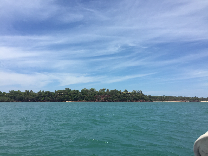
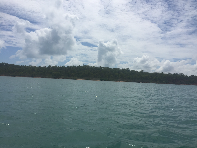
Anchored at Dunk isl.


Brammo bay Dunk isl.
Tue Aug 2 18:09 2016 NZST
GPS: 18 28.196s 146 13.085e
Run: 23.3nm (42.2km)

Hancock isl Hinchenbrook channel


Tue Aug 2 18:09 2016 NZST
GPS: 18 28.197s 146 13.086e

Anchored at Haycock isl.


Haycock isl. Hinchenbrook channel
Mon Aug 1 20:14 2016 NZST
GPS: 18 40.083s 146 30.337e
Run: 38.4nm (69.5km)

Anchored in Juno bay

Fantome isl.


Entering Juno bay
Entering Juno bay
Fri Jul 29 9:34 2016 NZST
GPS: 19 6.667s 146 51.589e
Run: 0.4nm (0.7km)
Avg: 2.7knts
24hr: 64nm

Previous position still wrong on the map . Hope this one is correct.


Fri Jul 29 9:25 2016 NZST
GPS: 19 7.037s 146 51.649e
Run: 1.2nm (2.2km)

A few boats left ,so we moved closer in from the previous position which showed wrong on the map.


Tue Jul 26 19:47 2016 NZST
GPS: 19 06-583s 146 51.490e
Run: 11.5nm (20.8km)

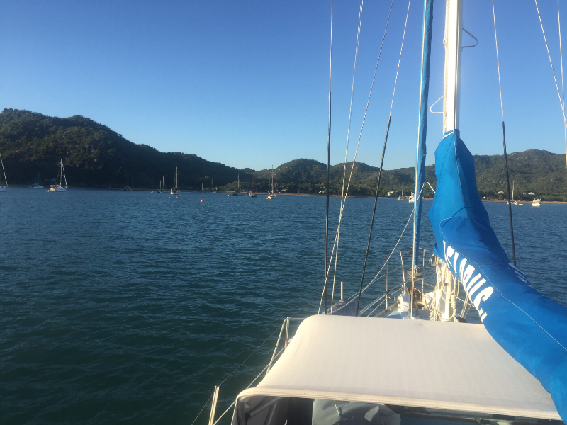
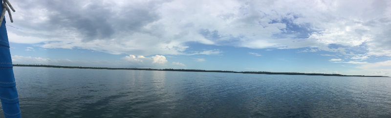
Arrived In Horseshoe bay 5.30 pm. after taken on 275 ltr. Fuel at Breakwater marina for the trip north enjoying the bay with 35 other boats.


Sunset at Magnetic isl.
At the fuel warf
At the fuel warf
Motoring into Horseshoe bay
Mon Jul 25 20:59 2016 NZST
GPS: 19 12.650s 146 59.312e
Run: 60.7nm (109.9km)

Didn't make it to horseshoe bay , but dropped anchor in red rock bay around from Cape Cleveland just after 18.45hr. It was a long 11.37hr motorsail from Cape upstart ,so tomorrow after getting fuel going into Horseshoe bay where we stay for 5 days or more .


Sunset at Magnetic isl.
Cape Cleveland
Cape Cleveland
Sun Jul 24 19:16 2016 NZST
GPS: 19 43-212s 147 45-299e
Run: 50nm (90.5km)

Arrived in shark bay(cape upstart) after a 9.55hr run eating nibbles and drinking rum enjoying every minute of it .


Cape upstart
Cape upstart
Sat Jul 23 18:56 2016 NZST
GPS: 20 03-696s 148 26-745e
Run: 23.9nm (43.3km)

First stop on the big trip north. Monte's resort relaxing having a few rumbo's here. Just before comming into Gloucester passage three wales and calf 10 metre from the boat . Early start tomorrow for the run to Cape upstart .


Mon Jul 11 7:10 2016 NZST
GPS: 20 15.740S 148 43.482E
Run: 6.1nm (11km)

Back on anchor in pioneer bay after a day away


Sat Jul 9 16:05 2016 NZST
GPS: 20 11.417s 148 40.220e
Run: 6.3nm (11.4km)
Weather: Clear sky,sunny, 20-25 kn. Se wind. 1.5 mtr. seas

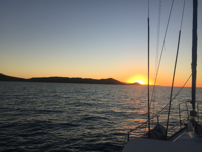
Sail rally with a group of other yachts Airlie beach to Woodwark bay


Anchored in Woodwark bay
Tue Jul 5 19:33 2016 NZST
GPS: 20 15.735s 148 43.827e

Waiting for the day to go north


Tue Jul 5 0:00 2016 NZST
GPS: 20 15.73S 148 43.83E
Run: 292.1nm (528.7km)

Waiting to go north and off to Darwin


Wed Jun 8 2:00 2016 NZST
GPS: 16 55.749s 145 59.257e

Anchored in Happy bay at Fitzroy isl.


Fitzroy isl. yetty in the back

No blogs available for this yacht.

Loading map and updates ....
Loading track, please wait ....