ICAROS
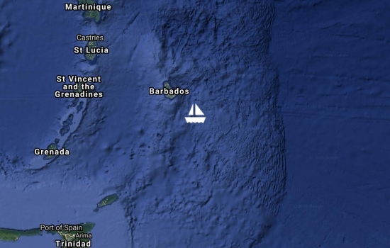
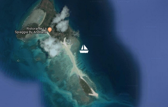
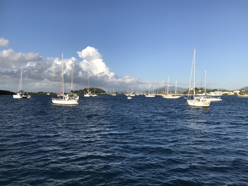
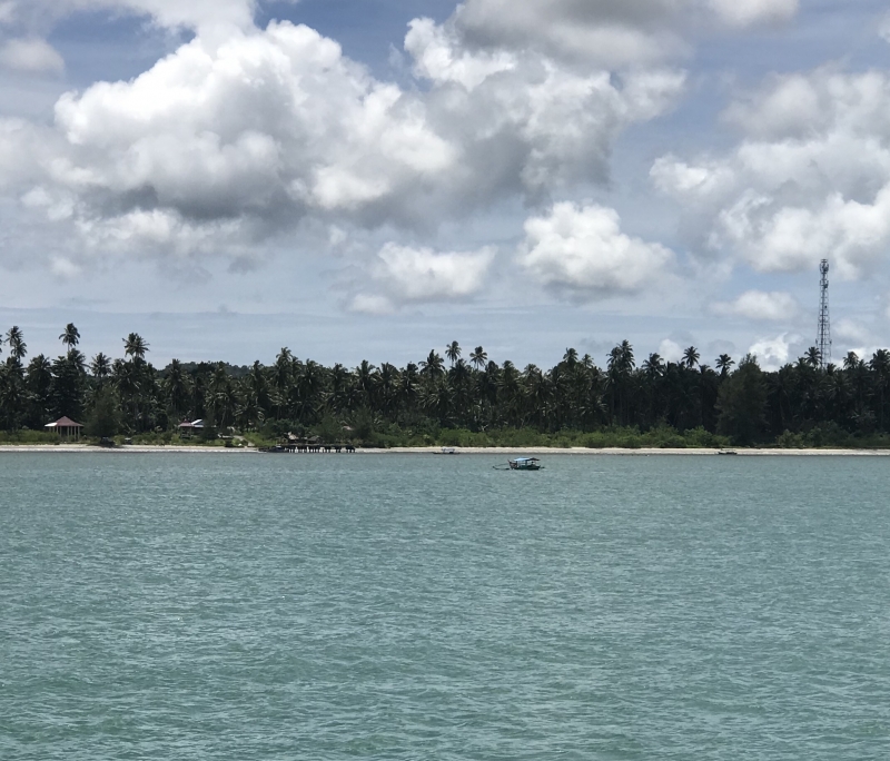
We sailed from Tyrell Bay, Carriacou to the South end of Grenada today. It's been a couple of months since we moved and it felt strange but nice to sail again.
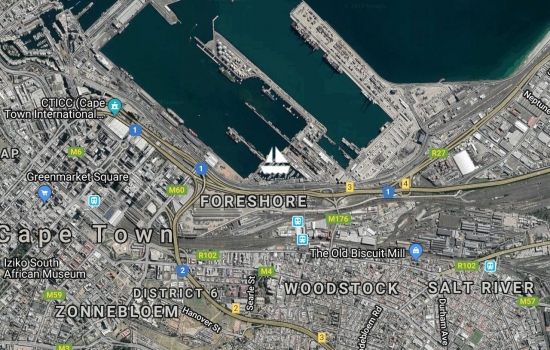
Grenada has done well in controlling the spread of the coronavirus. They are gradually easing the lock down. Initially we were confined to our boat and not allowed ashore. Then we were allowed to shop only at certain times. Grenada may open their borders in June and allow some interisland travel. Hurricane season officially begins June 1st and many boats throughout the Caribbean are looking forward to moving here. Grenada is not often affected by hurricanes and most insurance companies offer coverage here but not further north. Looking forward to some of our cruising buddies soon being able to join us.
Grenada announced their first Covid-19 case about a week ago. The person flew in from the UK. Since then another 6 persons have tested positive - all contacts of the first case.
Grenada has declared a state of emergancy and instituted regulations restricting movement and only essential services are to be operational. We are fortunate to be in a pleasant spot with helpful people ashore to facilitate shopping for us. Plenty of jobs, food, drink, etc on board to keep us occupied and happy.
Our thoughts go out to all those around the world who are struggling at this chaotic time.
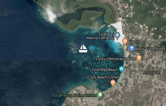
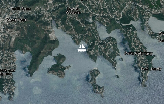
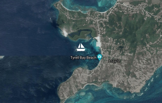
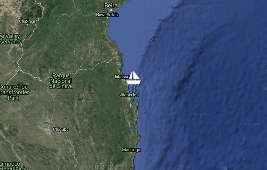
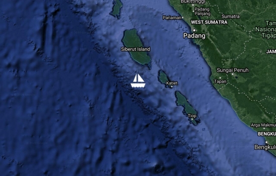
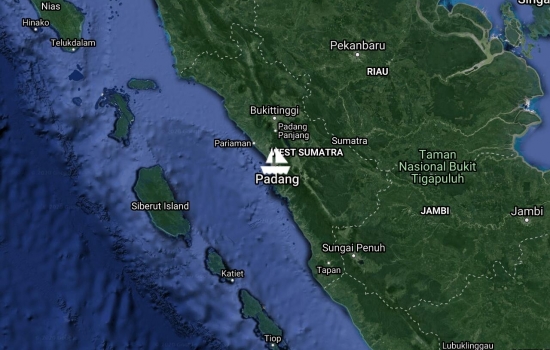
We arrived into Tyrell Bay, Carriacou about 11am after a pleasant overnight motorsail. This is one of the only two remaining ports of entry that are still open for Grenada. As expected there was a line up of people at Customs & Immigration. A lot of people are cutting their cruising holidays short and flying back home. The first line up was for a health screening which was a travel history and temp check. Then on to Customs & Immigration. Grenada grants us a 90'day visa with the option of extending monthly up to a year. Starting midnight tonight there will be tighter restrictions here in Grenada and all boats arriving will have to self-isolate for 14 days. Several other Caribbean Islands have closed their borders completely. Eg Trinidad &'Tobago, the French Islands, St Lucia, BVIs.
Glad that we made the move when we did. Barbados was a lovely spot to spend some time but Grenada has several marinas and a lot of boating services. We are looking to haul out and paint the bottom and a few other jobs. Also our insurance will cover us here during the hurricane season.
Amazing how quiet it is here tonight in the anchorage with probably close to 75 other boats. The bars and restaurants ashore are open only for take away food. Barbados had only a few cruising boats but several loud bad ass party boats milling around the anchorage most of the night.

Our visitors have had to cancel due to all the travel restrictions. We have left Barbados today and should arrive into Tyrell Bay, Carriacou tomorrow afternoon.
Grenada has several marinas & chandleries. And good boat services. So if we can't be tourists and enjoy Barbados we may as well do some boat jobs.

We sailed up the lee of the island to Port St Charles to check in with Customs, Immigration and Health. It was quick and easy. Oddly they had no idea where St Helena was. It is also possible to check in at the main harbour in Bridgetown but can be a long wait if they are busy with cruise ships.
It was a nice sail up and back along the west coast of the island in the calm protected water. Several day sail boats full of tourists doing the same run.
Spent yesterday reacquainting ourselves with Bridgetown. A trip to the chandlery, of course, and then we replenished our fruit and veg. Got a SIM card for our phone and we are connected to the world again. Wonderful!
Shall be kept busy with a few boat jobs but hope to explore more of the island in the weeks ahead with our visitors.

Avg: 7.4knts
24hr: 176.8nm
'Land Ho' as the sun comes up this morning!! Our wind has been steady at 20kt since yesterday afternoon and we've made good time with just our head sail.
Looking forward to making landfall this afternoon and just sitting still at anchor in one place for awhile. After crossing the Atlantic from the Canary Islands, we arrived into Barbados on Dec 3, 2013. It has taken us 6 years and 3 months to complete our circumnavigation. It?s been an amazing journey and we visited thirty-three countries along the way.
One year ago we were in Langkawi where Eric arrived on March 17 and sailed with us to Sumatra. Eric will join us here in Barbados on March 15 for a couple of weeks. Then at the end of March, brother Brian will sail with us from Barbados to Grenada. After that - no fixed plans - we?ll be on Caribbean time.
glad you're in my part of the
Congrats on a wonderful
Thanks Marilyn & Ron. Hope
That is just fantastic news.
Thanks Tony! Looking forward
Avg: 7.7knts
24hr: 183.7nm
We?re on the home stretch now. The wind finally moved out of the north and turned more easterly so we are back on our bearing to Barbados. Lovely sailing conditions with gentle breezes and friendly skies. We discovered another open seam on our main sail yesterday. Seems as though the stitching on the sail has reached its ?use by date?. Unfortunately, the rip is inside and above the clew of the second reef so we are now triple reefed. We could probably do a makeshift repair but it hardly seems worth the effort as we are still moving along fine and getting close to being there. Our friends Jim & Wendie on S/V Jaga doing this same passage have sails much older and less high tech than our five year old sails. Jim reckons his newest sail is probably about 23 years old.
Currently passing a tanker ?VL Nichioh? which is just a few miles away and has stopped. Not sure if we should do the neighbourly thing and call him up to see if he needs a hand. Does seem a bit odd to see a ship drifting along out in the middle of nowhere.
The snippets of BBC world news we receive on the SSB radio would make one wonder if we shouldn?t stay out here longer. The corona virus continues to spread and the world markets are falling. We still have a weeks supply of apples and oranges and lots of tinned food but we?re down to our last carrot and onion. In spite of all the troubles around the world, I am so looking forward to getting back onto the internet and in touch with everyone - plus I?ve got such a long list of things I must Google!!
Avg: 7.8knts
24hr: 186.9nm
The wind is slowly starting to come around a bit more to the east and we?re heading more towards Barbados. The forecast suggests the wind will lighten and go more easterly over the next few days. Would be nice to get the wind aft of the beam again on a more comfortable point of sail. We?re doubled reefed with part of the head sail furled away and moving along at about 7 to 8kt with a favorable current.
It was a sad night for the flying fish. We found about a dozen dead on the deck and even one in the dinghy this morning.
Seeing several ships daily now. A few have been tankers coming and going to Venezuela. 635 miles to go to Barbados
Your gps coordinates and map
Oops - fixed that! Put our
Avg: 7.9knts
24hr: 189.9nm
Our pleasant NE breeze decided to change to a northerly, so we have had to change our route. We had been trying to keep above our rhumb line to avoid a stretch of adverse current. The northerly breeze has us now heading west towards the French Guyana coast. A favorable current flows NW along the coast and we?ll head over and catch some of that. The adverse counter current is a couple hundred miles offshore and we shall now aim to sail between it and the coast. We?ll need the wind to turn more easterly as we make our way to Barbados and the forecast suggests it should.
We?ve been enjoying very nice sailing conditions and making good time with the wind on our beam. It?s not as hot and sultry and the breeze almost feels a bit cool overnight. As we near the coast, we shall have to be on the lookout for fishing boats that don?t have AIS. Usually they are brightly lit and can be spotted from a long way off.
Heard several flying fish hitting the boat last night. One poor fella fatally wounded himself but put up a gallant fight to the end. Unfortunately leaving a trail of blood and scales from one end of the cockpit to the other where I found him this morning.
945 Miles to Barbados
It sounds so technical all
Avg: 7.6knts
24hr: 182.6nm
We?ve broken free of the ITCZ!! The dark heavy rain filled clouds have disappeared and we are seeing more clear skies. The temperature is still quite warm but it's not as humid. The NE breeze has filled in and we have been able to turn off the engine. We motored about 36 hours to get through the light airs.
The bearing on our rhumb line from Fernando to Barbados is about 300T. We have been aiming about 10-15 degrees above the rhumb line in an effort to keep a good angle on the breeze and miss some adverse current up ahead. The wind is forecast to become more easterly in a few days and then may go northerly as we approach Barbados. The last thing we want is to be bashing our way in the last few miles so will try to approach from the East.
It?s been quite some time since we have sailed with the wind forward of the beam. The ride is a bit bouncier than what we have become accustomed to and there?s splash on the deck.Thankfully there isn?t too much swell and the wind isn?t real strong. We haven?t collected any dead flying fish for days but this morning we picked up a half dozen and there are numerous patches of scales left behind from ones that bounced off. Such beautiful creatures to watch soaring above the waves, it's sad to think of them bashing their little noggins on our hull in the middle of the night.
We are seeing more shipping with at least two or three per day showing up on our AIS. The latest cargo ship ?Linda Hope? enroute to ?TR ERE?? came within a mile of us. AIS is a wonderful tool which tells us precisely how far away the ship is, its course and how close it will come. Lots of good info in case evasive action is needed. After not seeing any other sail boats, we had two come within a few miles of us at the same time. One called ?Lone Star? (from Texas, of course) we had met at St Helena.
Today we are sailing through large masses of sea weed. Not sure whether this seaweed just naturally drifts around the ocean or whether it has washed out from the Amazon which is about 500 miles away.
1265 miles to Barbados

Avg: 7.1knts
24hr: 169.5nm
The past couple of days have been a real mixed bag. The winds have been light and we have been mostly motor sailing. We had one nasty squall with 30kt+ winds and heavy rain for a couple of hours in the dark early hours of the morning. Since then our breeze has been mainly north of east so maybe we are getting through the ITCZ and into the NE trades.
We are about 55 miles from the equator so will cross in the middle of the night. Might have to open the bubbly at cocktail hour and have an early celebration. This will be our fourth crossing of the equator. First time was between Panama and French Polynesia in 2016. Second time was between Indonesia and Singapore in 2017. Third time was last year as we traveled south along the west coast of Sumatra before crossing the Indian Ocean.
Still pretty quiet out here. Saw a few dolphins this morning riding our bow. No dead flying fish on the deck in the past week or more. A few attractive white with black trim booby birds around us fishing by madly diving into the water but thankfully only one poopy splatter on our deck. We haven?t had any recent stowaways at night. We are only a couple hundred miles off the coast of Brazil so maybe the birds head back to land to rest.
Not much for shipping traffic either - maybe one ship a day showing up on our AIS. I did see the lights of a boat on my midnight shift. It was not on AIS, did not have the usual red and green navigational lights and was moving faster than a fishing boat. In the middle of the night, one?s mind thinks of things like pirates and drug runners. Thankfully they didn?t come close and sped on by. They were coming from Brazil and perhaps heading towards western Africa.
1565 Miles to Barbados
Hi U2, Very interesting. Our
Susanne on S/V Nehaj ?

We left Fernando first thing this morning. Discovered a tear in the main sail but have been able to fix it underway. Should make it to Barbados! It?s between the first and second reef so if the repair doesn?t hold we can still run with two reefs in the main. It was nice to stop and break up the passage between St Helena and Barbados. Unfortunately we had some heavy downpours of rain on Fernando which limited what we could see and do.
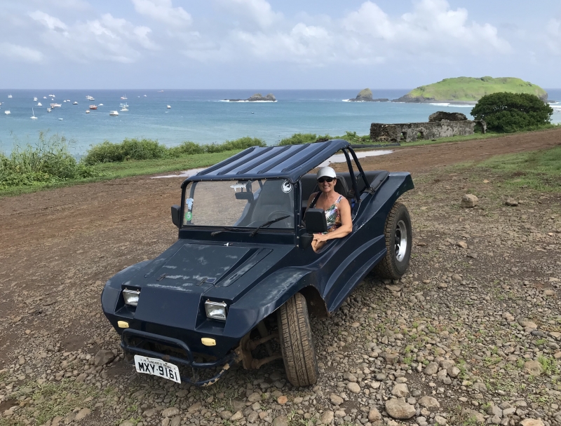
We rented a ?buggy? yesterday and did some touring. It was a wreck of a thing and many of the roads were possibly the worst we?ve ever seen! They charged a few $$ for the pleasure of visiting the island but thankfully the beer and wine were reasonably priced. They had an assortment of Australian wine in tins! We eventually managed to find some wifi but NO bananas.


We arrived into Fernando at sunrise and were all checked in by 10am. The port captain's office was easy to find in the first building just behind the beach. They contacted the police who also perform customs and immigration duties on the island. A policeman collected us and chauffered us to their office where our passports were stamped - eventually. A second policeman had to be called in for assistance as the first one didn't have the right password for the computer.
Unfortunately the weather let us down and about midday it started to rain pretty steady. We found a restaurant advertising Wifi and settled in for a nice meal and some internet. Our waitress's English was very good and we discovered that she had done a six month student exchange in Newfoundland. Unfortunately the Wifi was so poor we couldn't even download our email. Doubly frustrating as the locals and tourists around us were busy on their devices. It seems that local SIM cards can only be sold to Brazilian residents...
Hoping for a brighter day today. Lots of 'buggys' for rent on the island so shall go exploring. The island is quite rugged with lush tropical vegetation and massive stone formations. With any luck we'll find some working wifi and maybe even some bananas! Shall depart for Barbados tomorrow morning.
1910nm to Barbados


Avg: 6.6knts
24hr: 157.3nm
Yesterday we continued to sail wing and wing in a light breeze with a mostly cloudy sky. Late afternoon the wind dropped off and the sky looked more threatening so we tucked away the sails and began motoring. Overnight we had a couple of short downpours - just enough to discover a new leak at one of the salon windows. The winds last night were quite light and from several different directions yet the sea was quite smooth for motoring along. Today has been clear and sunny so we have been doing some wash and drying things out. Hopefully a bit of silicone on the window gets us to the Caribbean. We have put the spinnaker up and are having a slow pleasant sail. We can't make Fernando before sunset so shall coast along and make landfall tomorrow morning.
We have seen a few more ships the past couple of days. A 86m fishing vessel came from the north bound for the Falkland Islands. A couple of tankers from the NW headed for Cape Town and a cargo ship for BRSSZ - somewhere in Brazil? Seeing a few more birds around us busy diving and fishing. Last night we caught a glimpse of the Big Dipper upside down low in the northern sky. Sadly we ran out of bananas yesterday so hoping to restock at Fernando. Our fridge is being a bit temperamental but we have been able to use our freezer as a fridge for the few things that need to keep cool.
1648nm from St Helena and 87nm to Fernando de Noronha
Avg: 7knts
24hr: 168nm
Looks like we had a stowaway the past couple of nights as we found a nasty smelly mess on the bimini solar panels. Think it was a boobie that we have noticed flying around at sunset. Shall keep a better lookout tonight and try to move him on. The cloud cover is increasing around us and it feels more humid. Doesn't take much effort to break a sweat. The forecast suggests we should soon encounter the ITCZ - inter tropical convergence zone. This is where the NE trade winds of the north Atlantic meet the SE trade winds of the south Atlantic. We can expect a mixture of light winds and motoring as well as periods of heavy rain with squalls and possibly some lightening over the next few days. The position of the ITCZ looks different every time we download the forecast so it's difficult to plan the best way through it. Hopefully we'll be able to duck and dodge any big nasty looking thunderstorms.
We've packed away the Code O and are now sailing wing and wing with the main sail and head sail. We can easily and quickly reduce these sails if the wind picks up due to passing showers.
Possibly witnessed a good omen this morning just before sunrise when a break in the clouds revealed the planets aligning!! Below the half moon high in the sky and down to the eastern horizon was Mars, Jupiter & Saturn.
1350nm from St Helena and 385nm to Fernando de Noronha (Can you hear the drums Fernando?!)

Avg: 7.9knts
24hr: 190.2nm
Still pretty quiet out here. Night before last we had a large (32m) fishing vessel come within 6 miles. It was between us and Ascension. We also had a couple of terns rest on our stern solar panels overnight. They're welcome to come back as they didn't leave a mess.
Sailing conditions remain very pleasant with light breezes. The forecast shows quite a bit of rain activity in a couple of days as we get closer to Fernando. We have adjusted our course more westerly and will try to remain south of the worst of the weather in the hopes it will improve or move away.
1075nm from St Helena and 660nm to Fernando de Noronha 2720nm from Cape Town and 2560nm to Barbados - Yay! More than half way!

Avg: 7.1knts
24hr: 171.3nm
Still pretty quiet out here. No new ships and only a few flying fish spotted. We have been talking twice a day to several other sailboats we know. A bit of drama at the moment as one boat which is between Cape Town and St Helena has a broken prop shaft. All is under control and another boat is traveling alongside but it will be another week before they reach St Helena. Luckily St Helena is equipped to haul the boat out of the water and effect some repairs.
Like us, many sailboats have satellite phones for communications and downloading weather but it is still nice to chat on the radio. Unfortunately it is a bit of a black art as to figuring out the best time of day and frequency to use. We shall pass through six time zones between Cape Town and the Caribbean. We aren't bothered by jet lag but periodically we do need to adjust our shift changes and radio time schedules.
Our downwind sea conditions have been conducive for some boat projects and I even found time to clean the oven. I've got countless hours of podcasts to listen to which I enjoy as they leave my hands free to putter. We've tucked away the Spinnaker and have been sailing with the Code O and mainsail the past couple of days. Just have to time our jibes to keep the solar panels exposed. We enjoy the Spinnaker for those real light days but are always hesitant to leave it up overnight.
770nm from St Helena and 965nm to Fernando de Noronha

Avg: 7.3knts
24hr: 176.2nm
It's been pretty quiet out here. Haven't seen any birds and only a few fish. This morning we saw on the AIS our first ship since leaving St Helena. It was a 290m cargo ship doing 10k - the HL Baltimore - bound for KRPDJ. Often the destination abbreviations are difficult to decipher. Given the ship was heading towards the Cape of Good Hope - maybe somewhere in Asia.
We've been listening to the BBC news headlines on our SSB radio. So we are up to date on important events like the Oscar winners. The unfolding saga of the latest coronavirus makes us think that being on our boat in the middle of the Atlantic Ocean is not a bad place to be.
475nm from St Helena and 1260nm to Fernando de Noronho
Avg: 5.7knts
24hr: 136.9nm
Yikes, I'm living with a skin head! He's often threatened to shave his head at the start of a passage to see how it looks and feels. I can't say I like the look and think it makes him look sickly.
Hopefully it grows back quick.
Still sailing along under spinnaker in pleasant light wind conditions. The showers we've encountered have been brief and light and haven't affected our breeze much. We have a nice big moon and kept the spinnaker up overnight. 160nm from St Helena and 1575nm to Fernando de Noronho

Picture please.Of Bob. Don't

We departed St Helena at first light this morning. Light variable winds till we were several miles away from the island. The wind has filled in and we are now under spinnaker getting about 6kn.
We enjoyed our stay at St Helena very much. Swimming with the whale sharks was awesome - beautiful, gentle, inquisitive giants. Friendly, welcoming, helpful people ashore. Interesting history.
It was also great to catch up with other boats we knew and meet several new interesting ones.
S/V Neptune's Highway with Laura & Bruce arrived the day after us and left yesterday bound for their home port in the US Virgin Islands. We met first in Malaysia and they also post on YIT. S/V Jaga II with Wendie & Jim arrived on Wed so we were able to introduce them to St Helena and enjoy a few cold ones together. We have been traveling a similar route as Jaga since meeting in Port Moresby, PNG. They'll follow us to the Caribbean and then continue on to visit Jim's family on the east coast of USA.
We met a Spanish family with three young kids doing a quick one year circumnavigation. They'll be back in the Caribbean by April after visiting Brazil and then back to the Med in time for the kids to get back to school.
We met a single hander, John Sanders, from Western Australia. At the age of 80, he is on his eleventh circumnavigation. Three of them done consecutively.
We caught up with a South African family we had met in Hout Bay. Father and son (in his early twenties) have found it difficult to make a living in a South Africa that now predominantly trains and hires black citizens. With very little sailing experience, they are bravely on their way to a new life in the Caribbean.
Could go on and on - lots of interesting people out here!! But for the next couple of weeks - it's just us and maybe a few birds and fish.
I guess we should have been suspicious about the low cost of the car rental. Luckily the questionable brakes and transmission got us around the island and up and down the steep narrow roads full of hair pin turns. Did a few pleasant walks and enjoyed some great scenery. Such a variety of landscapes - lush green valleys with grazing sheep and cows, bare rugged steep cliffs and hills covered in NZ flax from a bygone era.
Going again today to swim with the whale sharks. We had quite a long swim with a 6m one the other day when an even larger one came up from the deep right towards me with a big wide open mouth. Awesome! Nothing but light winds in the forecast. Shall probably depart later in the week. Thinking of stopping at some Brazilian Islands, Fernando de Noronho, to split up the 4000nm trip to Barbados.
Hi guys, nice to hear about

St. Helena is exceeding our expectations. Quaint little town loaded with history, gives one the feeling of stepping back a hundred years in time. Swimming with whale sharks today and then a drive around tour tomorrow which will take us to where Napoleon spent his final years.
We are moored next to a sheer cliff a couple hundred meters high. Dozens of tropic birds and terns circling around overhead. Nice clear water below us. The island is spectacular in it's ruggedness. Looking forward to more exploring.


We will arrive into St Helena later today. The weather has been a bit unsettled the past couple of days with scattered showers around. The winds have remained light and typically the passing showers have snuffed our wind. Won't complain - we have been talking on the radio with a couple of other boats that recently left Namibia. They have been having 25-30kt and 4m seas. They chose not to leave when we did as they thought the forecasted winds too light. Some of the big old cruising boats like a bit of wind to move.
Our radar has given up the ghost again. We had it serviced in Cape Town and a belt was replaced. Disappointing as it is so useful at night to spot the nearby showers. We also use it to place a guard zone around us as we get a bit slack with keeping a good look around.
We are still find a flying fish or two dead on deck most mornings. Seems we get fewer on deck when there is less swell.
Looking forward to exploring St Helena. We plan to stay just a few days.
Avg: 6.9knts
24hr: 164.8nm
We left the eastern hemisphere and crossed into the western hemisphere this morning. Had a Thai green curry last night and will have burritos tonight in honour of the transition.
The wind tends to lighten in the morning and strengthen a bit in the afternoon. We tend to get caught reducing our sails before sunset to make the ride comfortable overnight and then find ourselves short on sail when the wind drops. Difficult to make changes in the dark of night and when one of us is sleeping so we usually wait for sunrise so tend to have a slow start on the day. We talk on the SSB radio twice daily with three other sail boats we know that are also on their way to St Helena. Otherwise not too much happening out here. No fishing boats and only the occasional ship showing up on our AIS.
329 miles to St Helena. Hope to arrive on the 28th.
Avg: 7.4knts
24hr: 176.6nm
we've been sailing along nicely in great conditions. We had a few scattered showers overnight and the wind picked up a bit but it was all quite manageable. We had a stowaway on board last night. A large boobie bird slept on the forward deck and left us a few messes behind. Looks like he's been eating OK. There were no dead flying fish or squid on deck. Maybe the boobie bird is on to a free lunch.
Just passed the half way point between Walvis Bay and St Helena. Forecast looks like more of the same for the next couple days. The wind is getting a bit more behind us so will try flying the Spinnaker this afternoon.
So glad the winds are

Avg: 7.5knts
24hr: 180.7nm
We've been having some really nice sailing conditions the past couple of days. 10-20kt on the beam and we've been moving along well in spite of our overladen condition. We are carrying extra diesel on deck to motor across the doldrums and our bilges are full of South African wine! Last week just before arriving into Walvis Bay, we were besieged by a plague of moths. Hundreds of them in various shapes, sizes and colours. Bob found a dozen or more just in his shoes out in the cockpit. Gradually their numbers have diminished each day and I am hopeful that I have just shooed the last one out of the cabin. Unfortunately they've left behind lots of black feathery dust, dead bodies and countless small orange poopy reminders.
Last night was noticeably warmer than the previous night. One less blanket was needed on the bed and I didn't have to wrap myself in my fleecy blanket during my early morning watch. We had a sky full of stars last night and a blue sky this morning instead of the foggy low level cloud we had been experiencing during our stay in Walvis Bay. I think we're escaping the cold Benguela current.
Found dead on deck this morning - three flying fish and one small squid We are 306 miles from Walvis Bay with 907 miles to go to St Helena

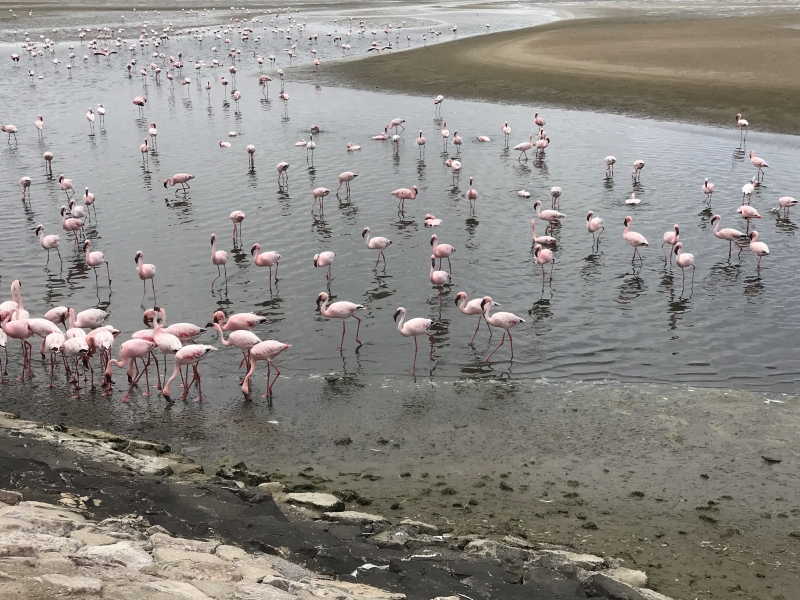
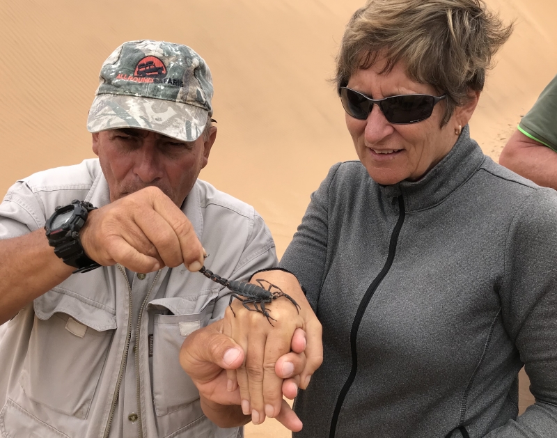
We've had a great time in Walvis Bay. Top spot! Considering we're on the edge of the desert we've seen heaps of wildlife. Thousands of seals, pelicans and flamingos around us. We took a tour into the desert yesterday. Great fun driving around the huge dunes. Our tour guides found us lots of critters - chameleon, scorpion, spiders, geckos, beetles, snakes. Amazing their adaptations which allow them to survive in the harsh climate.
We'll head out this afternoon towards St Helena. Just over 1200nm away. The forecast looks like light breezes so we'll probably be about nine days.
Looking forward to some warmer temperatures as we get a little further north and away from the cold Benguela current.

Avg: 5knts
24hr: 119nm
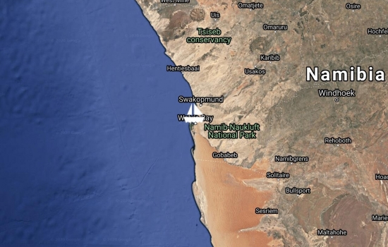
We arrived into Walvis Bay about lunchtime. Declined the thought of getting a taxi and walked into town to do our clearance with Customs, Immigration & Port Control. We eventually found our way!! The cold Benguella current has followed us up the coast and it definitely does not feel tropical here. The waters around us are full of seals jumping and playing and I guess they are also busy devouring fish but we are spared the gory details. A nearby sand spit is covered with hundreds of seals. Thankfully we are upwind of them.
They have a nice yacht club with restaurant, bar and dinghy dock next to the anchorage. Tomorrow we shall go exploring. Tonight we'll have a good night's sleep!!
Avg: 6.7knts
24hr: 160.8nm
The first couple of days we had lighter breezes than expected and we had to do a bit of motoring. We had a full moon Friday night and as we were watching it rise a nearby whale put on a bit of a show for us. Not sure what it was doing but it seemed to stand on its head and wave its tail at us for quite some time. That night we also ran into some fog for a couple of hours and everything on the boat was soaking wet which really made it feel quite chilly. Yesterday afternoon the wind filled in a bit and is directly behind us. We had a pleasant overnight sail with just the headsail. This morning we raised the mainsail and were merrily traveling along wing and wing until the sky starting getting cloudy and the wind got gusting close to 30 - so now we are back to just the head sail. Life is much simpler with just a head sail!! All going well we should arrive into Walvis Bay and back into the tropics on Wed. About 400 miles to go.
We moved to the Royal Cape Yacht Club yesterday to do our check out procedure with Port Control, Customs & Immigration. Relatively quick and painless with no fees. Enjoyed a pleasant happy hour at the club with Jaga II, Neptune's Highway and Nero. We leave this morning and shall travel in company with them up to Namibia. We are headed to Walvis Bay about 700 miles away and expect to arrive in about five days.
Will probably leave Cape Town later this week. Just checking that our new modem is working OK with our satellite phone so that we will be able to download weather and send updates to this website along the way.

We enjoyed a couple of weeks in Hout Bay. Especially the yacht club where we met several friendly locals. High hills surround Hout Bay and make it very scenic but katabatic winds can come racing down and make it incredibly windy.
We have been busy touring around and can highly recommend Cape Town''s double decker hop on hop off bus. As well as getting to know the city we have enjoyed lovely scenic drives along the coast and through nearby forest . One of our favourite stops was the botanical gardens.
We have moved to the V&A Marina in the downtown area of Cape Town. We are deep inside the harbour, past a swinging bridge then a bascule bridge and next to a surprisingly quiet residential area. Heaps of restaurants and shops and activities nearby to keep us entertained.

Avg: 6.8knts
24hr: 164.4nm
Hurray!! We have arrived into Cape Town. Well just about. It's in there somewhere behind the fog and clouds. Darn - I was hoping to get a picture of Table Mountain upon arrival.
Some big events for us the past few days as we passed by Cape Agulhas, the southern most tip of Africa. This also meant we left the Indian Ocean and are now in the South Atlantic Ocean. Last night we passed by the Cape of Good Hope aka Cape of Storms on a fairly pleasant moonlit night. A few days ago between Durban and East London we passed the same degree of longitude that was our most easterly point in the Mediterranean near Marmaris, Turkey back in July 2013. Officially our circumnavigation will not be complete until we cross our path - perhaps in Barbados in a few months time.
We are just a few miles out of Hout Bay Marina where we plan to give Icaros a rest for a couple of months while we do some land travel.
Brother Brian arrives next week and then we shall meet Bill & Nancy in Johannesburg and catch a Safari in Kruger. Really looking forward to it.


Congrats on rounding the Cape

TGIF!! We had a really windy SW blow yesterday which eased overnight. We'll wait a few more hours for the swell out there to calm down and the wind to shift more to the east and we'll be on our way.
We had a nice day out on the town. After the obligatory visit to the two local chandleries, we went to a seabird rescue/rehab center and spent some time with their African penguins and Cape Gannets. Then off to a local museum which was also good - well except for the local ship wreck memorabilia!


Avg: 3.4knts
24hr: 81.6nm
We had a good overnight sail from East London. The wind freshened up to 25+ but we ran downwind with just a reefed headsail and were quite comfortable.
Port Elizabeth, aka The Windy City, is not looking like its going to be one of our favourite stops. There is a lot of surge in the marina with the easterly breeze and the lines on the boat are creaking something awful. I have never seen so many unloved forlorn looking boats as in this marina. There is a coal terminal loading a ship not far from us and the fine black coal dust is everywhere. Later tonight the wind will switch to the SW and we can expect manganese dust blowing on us for the next couple of days. Bad news is this area is in drought and there are water restrictions. Forecast looks the wind will switch back to the east on Friday and we can be on our way again. Can hardly wait till I can say -TGIF.


East London has been a pleasant stop. There is a small welcoming yacht club where we were able to join a few of the locals for a braai (BBQ). We also found a fish market/restaurant/bar just up the river where we were able to watch South Africa win the rugby world cup.
A huge car carrier arrived into the port just next to where we were anchored. Turns out there is a Daimler car manufacturing plant here and the wharf was full of new Mercedes waiting to be loaded.
The weather is looking good today for us to move to our next stop - Port Elizabeth - about 135 miles along the coast

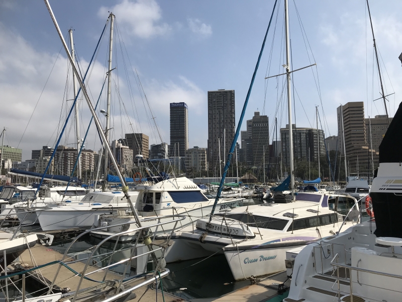
I had several interesting touristy things lined up to do in Durban - but we got a note from Des to say the conditions were suitable to move along the coast.
Even though we had already checked in with Customs, Immigration, Police, Port Control in Richards Bay, we had to repeat the procedure in Durban. So we quickly visited the various offices and filled out the multitude of forms and at first light the next day we cast off from Durban marina.
The whole morning was spent fighting an adverse current as well as a southerly breeze and hardly making any headway. About midday we finally found a couple knots of current and the wind became more favourable. The Agulhus current runa along the south east coast of Africa and can move along at a few knots. Fine when the wind is coming from the NE along with it but very dangerous when the wind changes to a strong SW. We had 48 hours to cover the 250 mile distance before the NE breeze was forecast to switch to SW 25-30. With the help of the current and NE winds increasing to 25+ we found ourselves sailing along at 9 and 10 knots for much of the way and we arrived into East London in plenty of time.
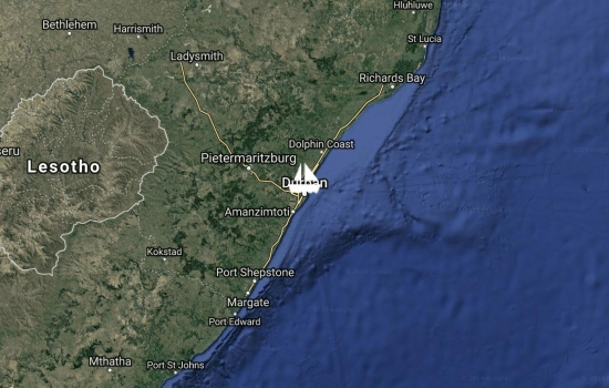
We took advantage of a bit of a lull between weather systems and moved ourselves down 80 miles to Durban. It was a pretty calm overnight passage with more motoring than sailing.
The marina is in the middle of the city but unfortunately the local advice is not to walk around the downtown area - day or night. We can easily grab a taxi or Uber to shopping centres and tourist attractions.
The wind is forecast to come in strong from the SW tonight but we feel pretty snug and secure here.


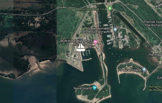
We are tucked into the Zululand Yacht Club Marina. Great bar and restaurant and welcoming people. The past few days we have seen some nasty changeable weather. First the wind came in strong from the south and covered us in some coal dust from the port. Then the next day it changed to the north and blew like stink. This weather is delaying our hopes of moving down the coast.
Our weather guru, Des, says that there is a succession of intense low pressure systems passing along the S coast over the next week and we may as well sit back and have another glass of champagne and watch it happen!
In the meantime, we are enjoying Richards Bay. Today we went on a safari at Hluhluwe-Umfolozi Game Reserve which is just an hour drive away. Saw heaps of animals - elephants, rhinos, zebra, giraffe, buffalo, wart hogs, baboons, nyala, bush buck but unfortunately - no big cats.


Avg: 4knts
24hr: 94.8nm
We arrived into Richards Bay late Wed night. Conditions the last couple of days were mostly light and involved a bit of motoring. Great to be here!!
Immigration and customs were quick and easy. Sorted out a new SIM card for our phone to get us back online. Also managed to fit in some grocery shopping for some fresh stuff. The cupboards were getting a bit bare and the meals inventive!!
We'll move off the International Check-in Wharf today and move over to the Zululand Yacht Club Marina. Hope to be here just a few days and then start making our way around to Cape Town.
Thanks for the update. Your
You guys are really on the
We are on our way to Richard's Bay and hope to arrive Thursday. All is going well with friendly seas and a full moon to brighten our nights. We passed south of the Tropic of Capricorn and it's getting a bit cooler at night. A few things to sort out upon arrival - a fridge that stops going when the ride gets rough, a radar that has given up the ghost, and a wind speed indicator that dances to its own tune! That's it for now. Sent from Iridium Mail & Web.
Avg: 2.6knts
24hr: 62.7nm
Tucked in behind some massive sand dunes here at Bazaruto with Adiejewah. Jaga2 will arrive today and Neptune's Highway on Thursday. Stormy weather will be passing by Richard's Bay today and tomorrow. Hopefully we won't have to wait too many days for favorable weather to continue on.
Sent from Iridium Mail & Web.
Avg: 3.5knts
24hr: 82.9nm
A lot of motoring the first couple of days. Now sailing with assistance of favorable current. Will stop tomorrow at Bazaruto Island, Mozambique.
Sent from Iridium Mail & Web.
Have just received word from Des, our weather router, that the weather conditions are looking favourable. So we shall head off with the outgoing tide this evening.
We will be in company with another boat - a Dutch couple - Maril & Harry on S/V AdiejeWah. AdiejeWah means 'See you later' in some obscure Dutch dialect. We first met them way back in New Caledonia and have traveled similar routes since then.
A bit of a hiccup we have discovered today. We are having problems sending and receiving Emails with our satellite phone/modem/iPad setup. This means we will not be able to send updates to this website. Shall keep working on the problem - but please don't be alarmed if there isn't any activity on this website until we get to South Africa in a couple of weeks and get an internet connection again.
In the meantime - we can use our satellite phone to send and receive SMS. We also have a SSB radio that we can use to talk to other boats and get weather forecasts.
Talk to you from South Africa if not before!!
Avg: 3.9knts
24hr: 93.9nm
We arrived into Baly Bay yesterday afternoon after a pleasant sail down the coast. We shall wait here until the weather looks right to start making our way to South Africa. What was looking like a possible weather window for early next week is being complicated by a low pressure system at the south end of the channel.
We keep studying the weather downloads but will rely on the advice of our weather router. Des has a better grasp of the big picture as well as years of experience sailing in these waters.
Baly Bay is a big ole bay and a good anchorage but the murky water is not conducive to swimming or making water. The other BIG problem is the very slow internet here. I may have to resort to doing some of my polishing that I keep putting off.
The days have slipped by and we are just about at the end of our 60 day visa for Madagascar. We have truly enjoyed our time here and this area of Madagascar is a lovely cruising ground.
The past few days were spent in Russian Bay just south of Nosy Be. It is a large well-protected bay and the story goes that it once harboured a Russian warship. It used to base itself there and pirate passing freighters. At some point the warship ran out of fuel and the sailors were happy to pass the rest of their days with the local people in the bay.
We employed a local guide to take us sailing across the bay on his traditional boat and then on a walk to a local village. Our half day tour finished with his wife cooking us a pleasant lunch which we enjoyed on the beach near his home.
Another highlight of our stop in Russian Bay was a visit from a group of Manta Rays that we watched fishing just next to our boat. I was even able to briefly swim with them - but couldn't keep up!!
We have been studying the forecasts and there is a possible weather window for crossing the Mozambique Channel at the beginning of next week. The plan over the next few days is to make our way about 200 miles south along the west coast of Madagascar. When the weather looks favourable, we shall jump off from Madagascar and head west across the Mozambique Channel. It is about 200 miles across and once we get to the other side we hope to find a favourable south flowing current. If the weather deteriorates, there are some islands along the Mozambique coast that we can shelter behind. As the weather permits, we shall make our way to Richards Bay, South Africa.

Good to hear from you again.
Happy sails to Richards Bay.
Will ask you more about that
We arrived back into Crater Bay a bit late for the Sunday pig on a spit BBQ. We spent the past couple of days about 40 miles north at Nosy Mitsio. Nice spot but no phone signal/internet... We awoke this morning to a favourable breeze and were able to sail most of the way back. Typically the morning land breeze is quite light and variable and the best sailing is with the afternoon sea breeze. As we left Nosy Mitsio this morning, the breeze was strong enough we put a reef in the main and had a terrific sail back.
We've been having a very social time the past couple of weeks. Lots of boats congregating here in preparation for the jump across the Mozambique Channel next month to South Africa.
Last week a dozen of us rented a van and driver and toured around Nosy Be. We enjoyed many scenic view points, a swim under a waterfall and lunch on a 'picture postcard' beach. The main crops on Nosy Be include ylang ylang, vanilla, coffee, and pepper.
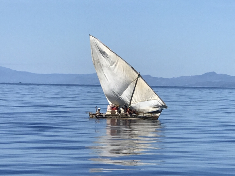
Nosy Be is one of the main tourist destinations of Madagascar. There are several expensive resorts in the area and some gorgeous looking villas on the hillsides. In stark contrast, most of the local people live in poverty. Homes are small and built traditionally with locally acquired materials. Typically there is no running water and women can be seen carrying water in buckets on their heads. Clothes washing is done by hand in a nearby river or next to the village well. Some of the men are kept busy fishing in small dug out canoes with 'bedsheets' for sails. Heavily laden dhows carry building materials and supplies between islands and are loaded and unloaded by hand.
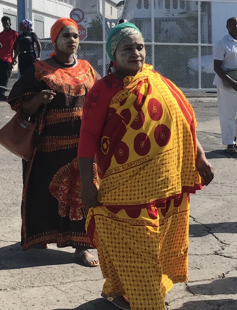
Unlike Mayotte, where the women were fashionably dressed with lovely materials in traditional style, much of the clothing worn here is second hand donations from other countries.
Hopefully some of the tourist dollars are benefitting the local people.


Now on another island - Nosy Komba visiting their black lemurs. Groups of about a dozen have their own territory in the bush. Females dominate each group and get most of the food and attention. My love affair with lemurs was dampened a bit by one scruffy black male who left his smelly mark on me.
Several nice restaurants & cafes on this island catering to the tourists. Had planned on climbing a hill to a viewpoint - but maybe another day!.
We'll head back to Hell-ville today for some shopping. A few boats we know are on their way from Mayotte so shall meet up with them as well.


We anchored overnight off this idyllic spot. Two small islands - Nosy Iranja Be (big) and Nosy Iranja Kely (small) - joined together with a sand spit. The sand spit is covered at high tide and at low tide one can walk from one island to the other. We were lucky to be here during the full moon and the sand spit practically glowed in the moonlight at low tide.
These islands are a hawksbill turtle breeding site and as I paddled from the boat into shore I could see several turtles in the clear waters. Their nests on shore are marked and protected. The hawksbill turtles are classifed as critically endangered and have been exploited for their beautiful shells.
The smallest island has a private big buck resort that was out of bounds to us day trippers. The larger island caters to the tourists with restaurants, bars, souvenir shops, dive & snorkeling trips, etc. Top spot and quite nicely done. Hopefully the turtles don't mind sharing it with all us tourists.

We stopped for a few hours on Nosy Antsoha (aka Lemur Island). Had a fantastic experience with three types of lemur that have the run of the place. The guides put a bit mashed banana on our hands to feed them. They were very gentle - no claws, just cute little fingers. Amazing to watch them 'bounce' from tree to tree.


We returned to the Crater Bay anchorage for the Sunday afternoon pig roast at the yacht club. A nice afternoon spent catching up with friends last seen in Thailand and meeting several South African sailors. We also had a couple of games of boules with some local lads - who were quite serious and skillful and needless to say gave us a hiding.
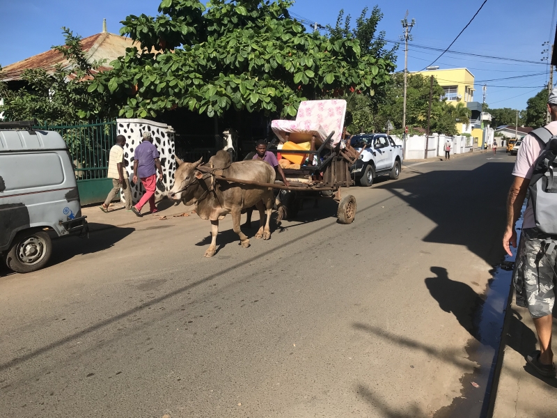
Just down the road, the local dhows are unloading sand, wood, and palm fronds for use in their building industry. The young fellows work long and hard unloading the dhows and then loading onto waiting trucks. Not a fork lift to be seen.


How nice to meet up with
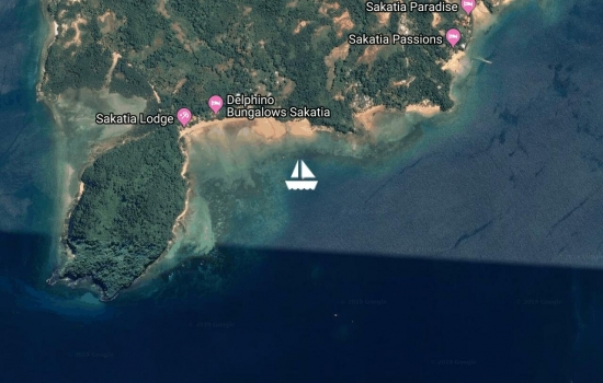
We've spent the past couple of days at Nosy (island) Sakatia. We are anchored next to a turtle reserve where we snorkeled with some huge green turtles. Just missed swimming with the cows this morning! A couple of local boys brought a half dozen zebu (local hump backed cattle) down to the beach and coaxed them in for a swim.


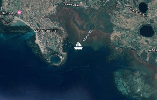
The harbour at Hell-Ville where we had to go to check-in is kept quite busy with local ferries & cargo boats. So - we have moved a couple of miles west to Crater Bay. The Crater Bay anchorage currently has about 50 boats and there are at least a couple of boats here we met at Mayotte. There is a yacht club here with a secure dinghy dock. We'll check it out & see if we can discover a bit more about what to see and do in the area.
The weather is stunning. Lovely sunny warm calm days with a light afternoon sea breeze. The nights are a couple of degrees cooler than Mayotte getting down to about 21C.
This section of the NW coast of Madagascar is typically in a wind shadow. The wind accelerates up the NE coast of Madagascar and then there is an area to the south of here that usually receives more wind. I've attached a weather forecast and you can see the red area with 3 feathered wind barbs indicating 30kn SE winds along the N E coast. We are located at the blue circle with a cross in it by Ambanja with winds less than 5 kn and then stronger 25kn winds SW of us.
The light blue areas suggest rain.


Avg: 3.4knts
24hr: 82.7nm
We had a good trip over from Mayotte. As expected we sailed the first few hours and then motored the rest of the way. Still no whales...
Spent the afternoon checking in with the authorities. Not over yet and have to return today to collect our passports. Our new best friend, Jimmy, guided us around & helped smooth out the process.
Life looks a bit slower and more basic here. Hell-Ville, in spite of the name, looks a nice spot. Clean & tidy with plenty of old colonial buildings.
Looking forward to getting out and exploring the nearby islands. Security is more of an issue here, especially for our dinghy & outboard motor.

We have finally started to extricate ourselves from Mayotte. Hard to believe but we have been here more than six weeks. We checked out with the authorities today and that was extremely easy. You have to love the French - no charges and all done within about 20 min. We have moved a few miles south of the main anchorage and will spend the night next to a small island near the pass to exit the lagoon. First light should find us on our way to Madagascar. Not much wind in the forecast so we'll likely be motoring most of the way. Our destination, Hell-Ville on the island of Nosy Be, is about 190nm away so we should arrive on Monday.


Where does the time go? It
We have returned to the main anchorage and are enjoying catching up with the other boats we know here. A couple of new boats have arrived today from Madagascar so will have to chat them up about where to go and what to see. We are starting to think about heading over that way.
There has been a bit of an exodus recently from Mayotte. A lot of the French people have returned to France for the summer holidays and some of the businesses have closed as well.
There is quite a police (gendarmerie) presence on the island as well as a French navy base. Apparently Mayotte has quite a problem with illegal immigration from the neighbouring Comoro islands. With all the police and military around we feel quite safe and secure here. There was even three young members of the French Foreign Legion at the yacht club the other night. Love their hats!!


We departed the main anchorage/mooring field a few days ago to explore Mayotte's lagoon. Hard to believe we have been here almost a month now and we still have so much of the place to see. Have been too busy socialising and enjoying the shopping.
July is the beginning of the humpback whale season but we haven't spotted any yet. Have had a few dolphins visit us while at anchor.
It has been a bit windy and cool for snorkeling so we have been enjoying some walks. The local people have banana, papaya, mango, coconut, orange trees and probably various other plants we don't recognize planted in amongst the native trees on the hillsides. They are all interconnected with trails. We followed a trail up to a look-out one day but then had trouble finding our way back down again. Nice to know they have no poisonous critters here.
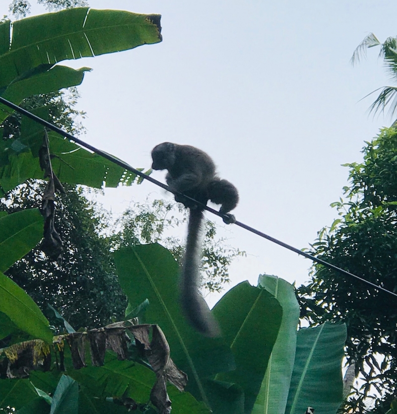
We spotted our first lemurs!! Locally on Mayotte they are known as maki. We came across a half dozen up a baobab tree and then we saw a few more traveling along a power line. It was late afternoon and unfortunately we couldn't get any good pictures. They were wonderful to watch moving effortlessly about the trees and making soft snorting noises.

Great to hear about your
Hello and great too hear from
We have been getting settled into our new surroundings and finding our way around. The grocery stores have a wonderful selection of food and drink thanks to the French influence. Lots of cafes & bars.
I am fascinated by the local women and their beautiful dresses. Vivid colours and elaborate patterned fabrics wrapped around themselves. A sandalwood and crushed coral powdery paste on their faces. Traditional make-up and sun protection


Avg: 4.5knts
24hr: 107.3nm
We’re here!! Tried to check in but the port captain wasn’t in his office. Tried to get a SIM for our phone to get internet - but the phone service retailer’s computer was down. Tomorrow!! In the meantime at a bar enjoying a wine and reading our email via their WiFi. Place looks awesome. Busy bustling mix of French folk and colorful Africans.
Well done! Glad you are
Avg: 5.8knts
24hr: 139.5nm
We had a lovely sail yesterday afternoon and then lost the wind. It?s been pleasant motoring along on a calm sea doing a few jobs. Hoping for a passing shower to rinse off all the salt spray. We expect to arrive into Mayotte early tomorrow morning.

Avg: 8.8knts
24hr: 211.2nm
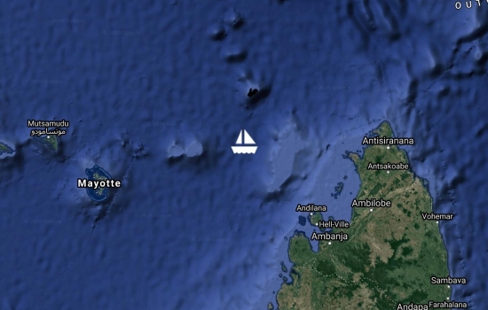
We have just rounded Cap D'Ambre and I can report that Madagascar looks beautiful.
After a rough and bouncy night, the sea flattened out as we approached the coast at sun rise. A favourable current and good breeze has us flying around the top at 10+kt. But now that we are here - we have decided to go to Mayotte, a French island about 240nm south west of here. Upon entry into Madagascar, we are only allowed a 90 day visa. We wish to leave Madagascar towards the end of October for South Africa. So we shall hang out in Mayotte for a month or two before going to Madagascar. It's supposed to be quite nice. (Inspite of the French, he says) 3114 NM from Padang - 18.5 days
Well done guys. Another ocean
Avg: 8.4knts
24hr: 201.2nm
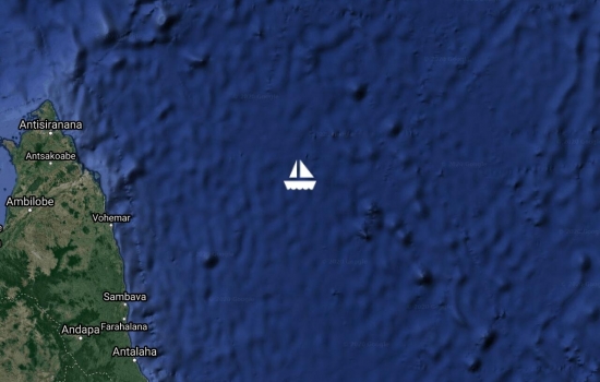
The wind and seas have eased a bit for our final leg to the top of Madagascar. We should round Cap D'Ambre tomorrow during daylight hours. Looking forward to getting off this magic carpet (aka roller coaster!!) ride and into the calm protected waters in the lee of Madagascar.
185nm to Cap d'Ambre, north Madagascar
Avg: 8.6knts
24hr: 205.4nm
We had a rainy night but plenty of sunshine so far today for the solar panels. Since coming through the gap on Tues we have been angling south. Today we head west and tomorrow north west along the coast of Madagascar and then over the top Sat morning. 2782nm fromPadang, 357nm to the north end of Madagascar What was it you used to say Patricia? We can almost smell the barn!?
Avg: 9.1knts
24hr: 217.9nm
Yesterday afternoon we navigated our way through the Mascarene Gap, an area between two large banks or shallow areas. Not a great feat as it?s about 65 miles wide! Now we are on a more southwesterly course making our way over to the NW coast of Madagascar. The plan is to try and get as much south as we can before we reach the coast so that we have the wind and swell behind us as we go up and over the top end of Madagascar. But- in the meantime for the next couple of days we are on a more rocky rolling point of sail. With any luck and the forecast is correct, the wind and swell will start easing soon.
Avg: 7.6knts
24hr: 181.2nm
Still moving along quite nicely downwind with just the headsail. Hurry Up, Slow down, Hurry up!! The latest weather forecast shows the winds easing around the top end of Madagascar in time for our arrival in a few days. Hurray! Now - wouldn?t it be nice if we could get there during daylight hours. Looks like it might be time to speed up our magic carpet ride.
2415 miles from Padang, 712 miles to the top end of Madagascar

Avg: 7.5knts
24hr: 180.8nm
Still moving along comfortably downwind with just the headsail. We had quite a bit of rain and wind last night but things have settled down today. Heavy clouds fill the sky so the solar panels are struggling.
We expect to be at the north end of Madagascar about Fri or Sat. Currently the forecast has a lot of wind there so we have reduced our headsail in size and are trying to slow down a bit so that the weather has a chance to improve by the time we get there. Yea right!!

Avg: 17.2knts
24hr: 413.4nm
Still moving along quite nicely downwind with just the headsail. Have shut the freezer off today. We just have a couple of frozen made-ahead meals left. Time to get inventive with the dry stores. The freezer consumes a lot of power and with these cloudy days our solar input just isn?t enough to keep the batteries happy. Happy batteries are important to keep the Captain happy!! 2115 miles from Padang, 1029 miles to the top end of Madagascar
17kts and 400 Nm in 1 day.
Still moving along quite nicely downwind with just the headsail. Saw several cargo ships on AIS last night. Now today - nothing. Maybe we passed through a shipping lane.
Chatting twice daily on our SSB radio with several other boats.
Neptune Highway at Rodrigues, AdiejeWah & Nauti Nauti at Chagos, Althea & Jaga II a couple hundred miles behind us.

Avg: 7knts
24hr: 168.8nm
We are moving along quite nicely downwind with just the headsail. The big excitement for the day has been our first AIS target since leaving Sumatra - a cargo ship heading east bound for Singapore. It was 16 miles away and too far to actually see - even when looking out while on the crest of a big wave. Maybe we'll start seeing more shipping now as we approach the north end of Madagascar.
Doesn't take much to amuse us!!
Well, what a difference another day can make!! We are now heading for Madagascar.
A weather forecast of 30+kt breezes and high seas around Rodrigues in the upcoming days made us consider our options. A special thank you to Des in South Africa and Ashley in Townsville, both with first hand experience in the area, for their advice and insights on the weather.
So Plan B is to head to the north end of Madagascar and spend the next few months exploring the NW coast. This area has been quite popular with cruisers visiting in recent years. We have tucked the mainsail away and are now just flying the headsail. We aren't going as fast as we were when the wind was on the beam but it's a nice comfortable run downwind.
1623 miles from Padang 1565 miles to the north end of Madagascar
Hi guys, Great to see that
Avg: 7.9knts
24hr: 190nm
Well, what a difference a day can make!! We have rather boisterous conditions today.
Last evening the wind picked up from the NW and we were able to sail through the night. This morning after sunrise, thank goodness, the wind dropped off as we headed into a bunch of rain clouds. A couple of hours later we were breaking our way through and starting to see blue sky ahead. Now the wind has filled in from the SE but the seas are quite confused and choppy. The wind is forecast to move more easterly and once it does things should settle down.
1572 miles from Padang 872 miles to Rodrigues

Avg: 7.6knts
24hr: 182.8nm
The wind dropped out and we have been motoring since midnight. We have a long lazy swell and a favourable current helping us along. The forecast has a change coming tomorrow or the next day. We will pass through a trough with some squally rain and then should find some stronger favourable SE breezes on the other side.
But in the meantime, having a pleasant relaxing birthday gazing out into the blue and we will enjoy a glass of champagne a little later.
What a way to spend your bday
Happy Birthday Bev - enjoy
Avg: 8.6knts
24hr: 207.6nm
It was a starry starry night and now it's a blue sky day. The wind and waves have eased a bit and it's lovely smooth sailing. The temperature is very pleasant and we've started to wear T-shirts instead of just swim wear. Gone are the hot humid SE Asian days. There's a pot of soup on the stove and some fresh bread in the oven!! We have today passed the half way point between Padang and Rodrigues. The second half of the journey is likely to be a mix of light and strong winds.
Happy birthday, sis.
Happy Birthday Bev on the I.O
Happy Birthday Little Sister

Avg: 9.9knts
24hr: 238.1nm
Had a couple of passing showers this morning. The past couple of days have been overcast with lumpy seas in the morning and then the afternoons have brightened up to make the solar panels happy. The forecast suggests lighter conditions the next couple of days. It will be disheartening to slow down but the trade off will be a little smoother ride.
The boobie birds continue to accompany us. At cocktail hour a couple tend to circle the boat and come close to the stern to look in at us. Last night we noticed one hitching a ride on the port bow. Not a problem though as he seems to be toilet trained and kept his tail feathers over the edge.
You’re flying along !! Safe
Avg: 8.6knts
24hr: 205.6nm
Yet another good night and no fish died on deck.
We are in SSB radio contact with several other boats we know in the area. Unfortunately propagation has not been good the past couple of days. Fortunately most also have satellite phones so we can still send emails and SMS messages and report our positions and discuss any problems.
We are in daily contact via our satellite phone with Des Cason who is in Durban, South Africa. Des is a retired yachtsman with many years and miles of sailing in this part of the world. He is very generous in sharing his experience and local weather knowledge. We send him a daily position report and within a couple of hours he sends back a two to three day outlook specific to us. He has been providing this service free of charge the past four years. Last year he guided more than a hundred boats across to South Africa and down the coast to Cape Town.
Today we are 860 miles from Padang with 1586 miles to go to Rodrigues.
Avg: 8.7knts
24hr: 209.8nm
Yet another good night. We had a small early morning shower which I thought might be nice to rinse the salt off the deck - but we keep getting broad sided and splashed by the occasional big wave. Today the wind has moved back of the beam so the ride is getting smoother. We are now on a rhumb line course for Rodrigues. I had a flying fish come join me on my watch last night. He landed in the cockpit and flip flopped his way to the doorway of the cabin. I was able to grab him with my silicone oven mitt and toss him overboard. Unfortunately two other flying fish were not so lucky and died on deck overnight.
Pleased to hear all is well
Glad you’re making good time!

Avg: 8.9knts
24hr: 214.3nm
We had another good night. Nice steady breeze and no rain. The wind has lessened a bit today but we are now on a beam reach and still making good time. 498 miles from Padang and 1954 miles to go to Rodrigues !! Yesterday we noticed a couple of boobie birds flying around us and today we have seen dozens. There are a few flying fish around which must be attracting them. So far no fishes or bird poop on deck- all is well on board.
Avg: 9.7knts
24hr: 232.6nm
We had a very good night. Nice steady breeze and no rain. AND best of all - no other boats. After the last couple of years in SE Asia maneuvering at times amongst hundreds of boats, it is awesome not to see anyone else out here.
We are still beating into the breeze and the sea is a bit lumpy but we are making good progress. 185 miles for the day. Hoping the wind turns a bit more easterly.
There are a few other boats out here that we are talking to on the SSB radio and satellite Phone. AdiejeWah at Chagos, Nauti Nauti is 700m E of Chagos, Althea and Jaga II are 400m in front of us, Starcharger left Darwin Mon, Melimila still in Phuket awaiting new sail.
Glad to hear your trek
Avg: 6.6knts
24hr: 158.7nm
We were surprised to find ourselves sailing not long after leaving Padang last evening. Had expected to spend the first couple of days motoring south to find some wind. Had several squalls through the night so we are a bit sleep deprived today. The sea is quite lumpy and we are punching into it to make as many miles south as we can. Will probably take a couple of days to get through the ITCZ and the squalls. Then hopefully we'll have the wind over our shoulder and some friendlier sea conditions.
In amongst the squalls last night we also had to dodge several brightly lit squid boats. Hoping that will be the last we see of the local fishing fleet and any boats we come across now will show up on AIS.
Nice to finally be out on the open sea and on our way.
Goodbye Indonesia, Wonderful Indonesia, Goodbye SE Asia. Lots of good times & great people we've met along the way. Looking forward to getting out there & doing some sailing & exploring new countries.
Took the better part of two days to complete the check out procedure in Padang. Incredible the paperwork!! Smiling friendly people everywhere just trying to do their job so couldn't complain.
Will probably do an update every day or two with our satellite phone - just so I can get my technology fix.

Hey there dear Bev and Bob,
Avg: 3.2knts
24hr: 75.8nm
We arrived into Padang this morning after an overnight motor. Next to no wind and what there was always seemed on the nose. It was a nice moonlit night with just one passing shower. Not a real good test - but a silicone repair job on a leaky salon window may have worked.
We shall spend a couple of days here doing a bit of shopping and having a look around before checking out of Indonesia with the authorities.


Left Nias Island yesterday morning and spent last night at Sipika Island. On our way there we crossed the equator and now we find ourselves in the Southern Hemisphere again. This was our third crossing of the equator. First time was between Panama and French Polynesia. Second time was between Indonesia and Singapore. Tonight we are anchored inside of the surf break on Tanahbala Island. There is a Telkomsel tower at the head of the bay with a strong phone signal but sadly no internet. Next stop - the bright lights of Padang.

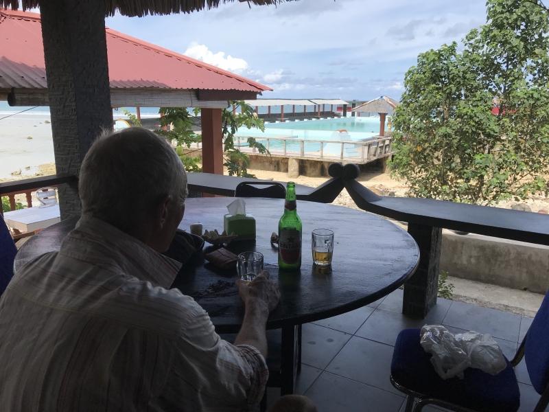
Last day of the Nias Yacht Rally and we are looking forward to a 'Farewell Party' tonight with all our guides. This was the first time they have hosted such an event and have done a great job. A lot of effort went into the preparation of the tours and dancing. For example, hundreds of children prepared for several days to show us their traditional dancing on a visit to their school. Friendly smiling people everywhere we turned. Interesting traditional villages. A big highlight was watching the stone jumping - traditionally part of the training of young men for battle. Nias Island is predominantly Christian with approximately 10% of the population Muslim. Our visit coincided with Ramadan so Nias was a good choice - food & beer available throughout the day !


Day 1 - Nias Yacht Rally - Teluk Dalam city tour - highlights included seeing the stone jumping monument, a visit to a Catholic church adorned with local wood carvings & in traditional architecture style, a cool drink with the delightful Sister Yustina Hondrö, tea & coffee with the Regent of South Nias and then a cold Bintang to complete an enjoyable day.


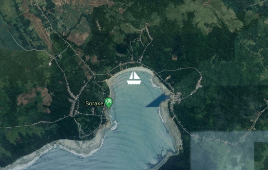
We moved to Lagundri Bay on the south end of Nias Island. Another world class surf location with huge surf breaking at the entrance to the bay. Unfortunately there is a lot of swell invading the bay and it's a bit rocky and rolly. Not so bad for us in our catamaran but the two monohulls anchored with us are not enjoying it. The swell is up enough throughout the bay to make it very difficult to land the dinghy on the beach and there are no piers. So tomorrow we'll probably move a few miles east to another bay and the town of Teluk Dalam. There will be five days of festival activities for us there next week.
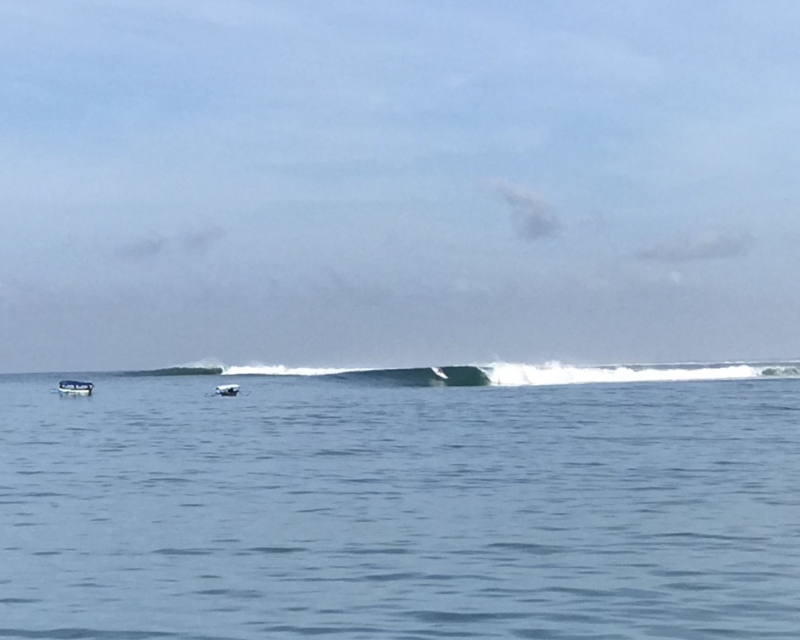


Enjoying a pleasant stop at a small island - Pulau Asu- off the west coast of Nias Island. We spent a couple of hours walking around the island and visited three surf orientated accommodation businesses. There are also about 50 indigenous people living on the island who help support the surfing industry.
Surfers - a whole new culture of people to us. We met an interesting bunch yesterday. Professional men from all over the world travelling the world to surf. This part of Indonesia is apparently 'world renowned' in surfing circles.


Avg: 4.8knts
24hr: 115nm
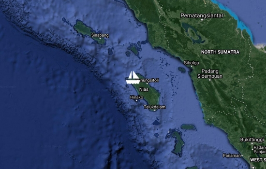
We had a good trip down to Nias Island from Sabang. The first night we had a squall with 25kn breezes to liven things up between 1 and 2 am. The rest of the time there was a long gentle ocean swell with a light breeze which was NOT on the nose for a change. We even managed to turn the motor off and sail for a few hours.
Typically there is not much sailing in these equatorial waters. The other nice feature of this trip was the near absence of fishing boats and shipping - such a contrast from Malacca Strait on the east side of Sumatra.
The little black box (MDI - mechanical diesel interface) has gone on the port engine again. The Volvo guys in KL will try to get their Indonesian colleagues to come to Nias Island or Padang to replace it for us. It is still under warranty. In the meantime, Bob has attached a starter switch so that we can still use the engine. The instruments (rev counter, temp gauge, battery indicator) do not work without the MDI. Also - it seems the alternator on port engine is no longer charging. Something else for him to fix !!
In the meantime, we have anchored in behind a surf break in a nicely protected anchorage complete with communications tower. What more could a girl want!! Time for a swim and then a nap.

Just testing - sending an email via sat phone to YIT.
Our current plan is to leave Sabang tomorrow morning and make our way down the west coast of Sumatra to Nias Island. Total distance approx 400 miles.

Our five days of activities during the Sabang Marine Festival included much more than just enjoying the local food, touring the island and watching traditional dancing. The crews from twenty boats were invited to participate in many interactive experiences – joining in a parade with local children and a marching band down the main street of town, planting bougainvillea on the boulevard outside a school, wearing Acehnese traditional clothing, making mats from coconut palm fronds, line fishing in a pond stocked with an assortment of fish, picking up plastic off a section of beach, playing traditional drums made of goat skin and jackfruit wood after receiving instruction on how to ‘slap and tap’, making coffee in the Acehnese traditional manner. Kopi tarik (pulled coffee) is where the freshly brewed coffee is repeatedly poured and filtered through a cotton strainer from one container to another to enhance the flavour.
On the last day of the Marine Festival we took a ferry across to the city of Banda Aceh where we visited the Tsunami Museum. The 2004 Indian Ocean Earthquake was of a magnitude greater than 9M and the epicentre was located just off the NW coast of Sumatra. It set off a series of tsunamis with a maximum height of 30 meters reported and claimed the lives of more than 200,000 people in several countries across the region. The city of Banda Aceh on the northern tip of Sumatra was one of the hardest hit losing 90,000 people. Almost fifteen years after the event, driving around the rebuilt areas of Banda Aceh, it was difficult to imagine the destruction and devastation that took place. Local guides described their first hand experiences. Monuments and memorials noted the names of the dead. Pictures and video clips in the museum helped to re-enact the event. Seeing a 2600 ton barge that had been swept 5 km inland into a residential area helped to make one better appreciate the power and destruction of the tsunamis.
While at Banda Aceh, we were also treated to some more traditional dancing. The ‘Saman’ or ‘dance of a thousand hands’ is a sitting dance performed without musical instruments. The young men sit in a kneeling position, singing and clapping and slapping their hands on their shoulders and laps and swaying their torsos and heads in an ever-increasing fast paced rhythm. Quite spectacular to watch.


Still in the same place (between Pulau Rubiah & Pulau Weh) and we’ve been enjoying some lazy days. The good news is we also found some nice coral. Our daily schedule includes a leisurely breakfast, a snorkel or two – maybe a dive, reading and planning for our next few months of travel, some boat jobs, happy hour get togethers and dinners ashore.
We are sitting at anchor with four other boats that we sailed through Indonesia with in 2017. We shall all continue this year across the Indian Ocean towards South Africa. It’s been great to get together again and discuss our upcoming travel plans. We won’t all go the same way or leave at the same time but we shall continue to talk via SSB radio as we cross the Indian Ocean and meet up again in Madagascar or South Africa. We are also meeting other boats here that will transit the Indian Ocean this year. Several boats we know are taking a more northern route stopping at Sri Lanka and the Maldives and we’ll meet them again on the other side later in the year.
The weather has been rather benign - the occasional shower, mostly sunny skies and light breezes. The temperature ranges from about 33C during the day to 27C at night with high humidity. It doesn’t take much physical activity during the day to break a sweat. The best place to be is in the water!! The water temperature is about 30C so not real refreshing but very easy to soak in during the heat of the day. We often sleep the first half of the night on deck as it is just that little bit cooler than inside the boat.
We’ve been doing some diving with a local dive operation. They load up their boat with all the dive gear, pick us up from our boat and we are at a dive site within 10-20 minutes. Too easy!! Not fantastic coral or spectacular visibility but a pretty nice selection of fish and assorted sea critters. We are often diving in current making it more challenging but also beautiful with fan corals and feather stars.
There is a good selection of small restaurants onshore serving local and western food. The meals are very reasonably priced at about $3 or $4. Typically there is no alcohol served although we have found a couple that do. A few local tricks we’ve learned such as ordering ‘apple juice’ (nudge/nudge/wink/wink) and receiving an icy cold amber yeasty smelling beverage.
Several more boats will be arriving over the next few days in anticipation for a local ‘Marine Festival’ this coming weekend. We’ll be treated to local tours, dinners and sporting activities. Looking forward to it.
Glad to hear life continues
Great to hear from you again.
We changed anchorage and have moved a few miles west to Pulau (Island) Rubiah. A more touristy area with several dive shops, small hotels/guesthouses and restaurants. The water is lovely & clear with lots of fish. Haven't seen much for coral yet - will keep looking.
Forecast is for rain tomorrow but then the weather looks good for the next few days
The prices are pretty reasonable for diving here so may get the locals to take us out for a few dives.


Avg: 2.9knts
24hr: 69.4nm
We have arrived into Sabang after a slow motor with just a bit of sailing. Quite a steady stream of big ships coming over the top of Sumatra entering & leaving the Malacca Strait.
Two dinghy loads of officials to greet us with plenty of paperwork & smiles. Then we had to visit them in their offices to collect our paperwork & pasports. The whole check in process took about 4 hours.
Our arrival has coincided with a local festival with events & food galore.. But first we must check out the water & snorkeling. Water looks marvelous!!


Electrical and chart plotter problems sorted. A loose wire and a faulty update seemed to be the culprits.
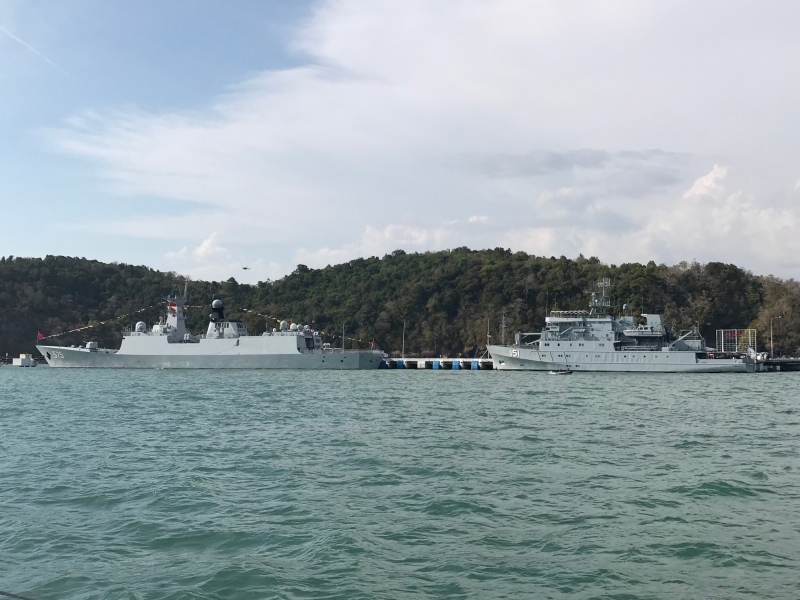
Time to leave Malaysia and what a send off we received. Military ships galore as well as jet aircraft circling us in the sky. Or perhaps our departure just coincided with LIMA'19 (Langkawi International Maritime and Aerospace Exhibiton)

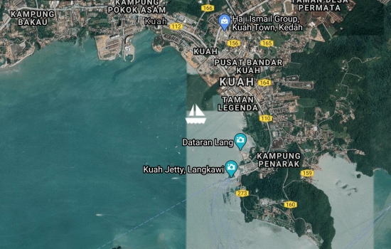
So... we decide to motor over to Kuah which is the main town on Langkawi. We'll do a last grocery shop for fresh fruit & veg and then check out of Malaysia at the Harbour Master, Customs & Immigration. Right? Wrong...
First thing we notice is our one year old chart plotter/multi-function display at the navigation table doesn't want to turn on. Keeps trying, flickering and going off. No problem - we have another one at the helm station. No - it doesn't work because it is the slave and the nav table chartplotter is the master. No problem - we can navigate by eye and use the navigation programs on our ipad and iphone.
Hmmm the autopilot isn't working - it seems it can't find the GPS. No problem - we have a spare autopilot. Strange,,, there doesn't seem to be any power getting to it. Or for that matter to any of the pumps on port side (watermaker, galley sink, port head).
Well Eric - this is the cruising life at its finest - think we'll be here a few more days...
Hi guys,
We booked Icaros into Rebak Marina for a few days and we took advantage of some cheap Air Asia flights to Penang. Bob & I visited the Indonesian Consulate to get a long stay visa. The rest of the time we enjoyed touring Penang, sampling the food and walking around historic George Town. We introduced Eric to some of the local favourites such as Cendol - an iced sweet dessert that contains worm-like green rice flour jelly, red beans, coconut milk and palm sugar.


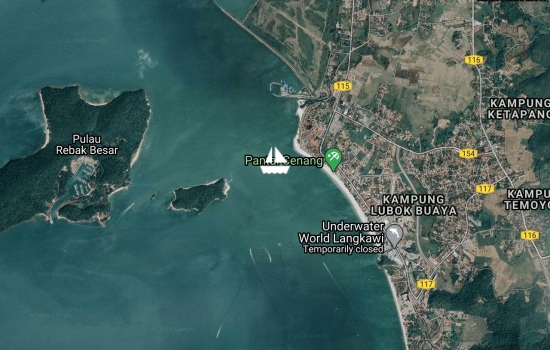
Eric has come to visit. Most of the jobs on the 'To Do List' are done, the boat is laden with food and grog and now it's time to do some touristy fun things. Spent a few enjoyable days anchored off Cenang Beach. Nice beach to walk along with a great choice of bars and restaurants.

Painted & polished & ready to get back in the water. Looking pretty nice!!
We'll spend the next three weeks around Langkawi preparing for our next passage. Still a few more jobs on the 'To Do' list and lots of provisioning. Langkawi is a duty free island & they have some pretty good liquor prices. The waterline is going to be quite a bit lower...


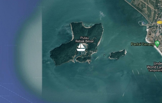
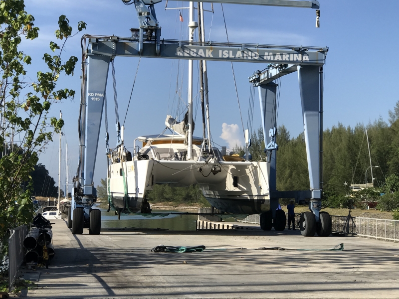
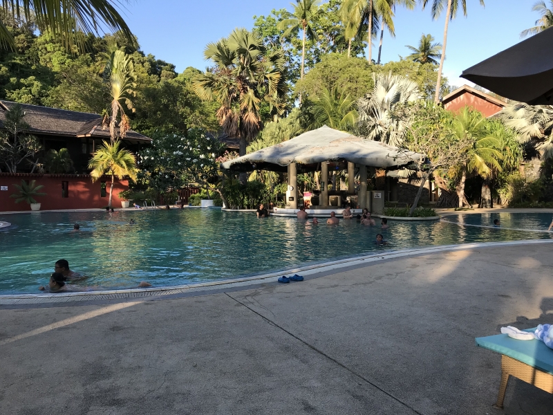
Currently up out of the water at Rebak Island Marina to repaint the bottom & a few other jobs. Situated on a small island off of Langkawi Island. A nice resort next door complete with pool & swim up bar that we can use. A pleasant reward after a hard days work. We expect to be here about ten days.
Hi guys. Warm and sunny
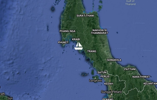
Our last stop in Thailand was spent on Koh Lanta. Lovely beach full of restaurants & bars and best of all - no noisy long-tail boats. Could have spent more time here but shall take advantage of a favourable breeze & make our way to Langkawi.
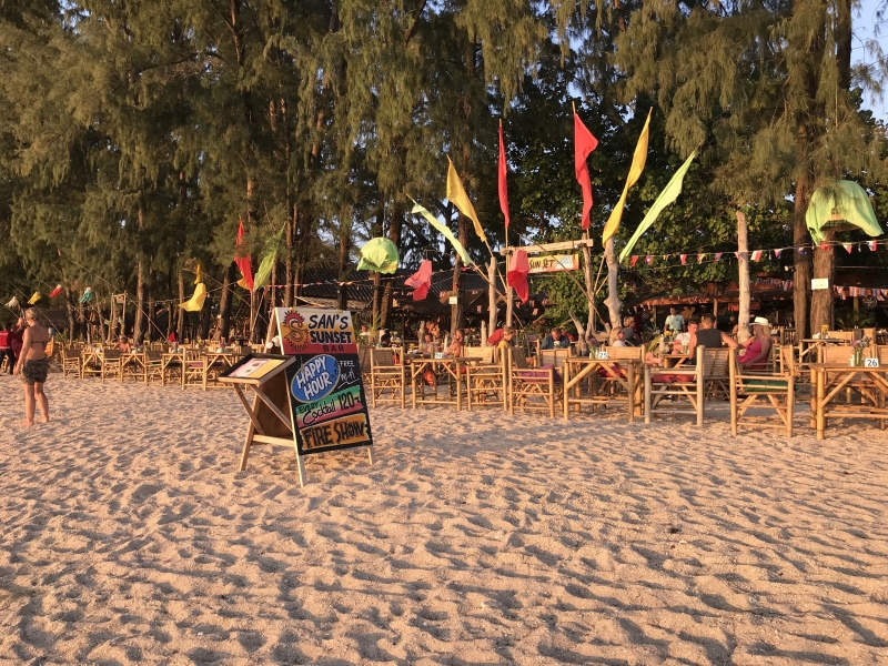

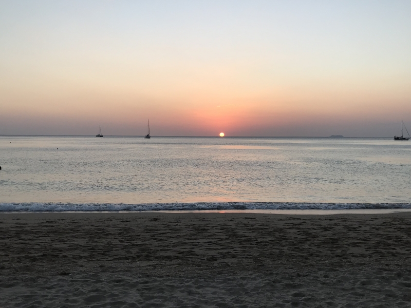
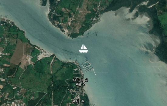
A fun day yesterday. Started with a dinghy parade. Drone footage will likely appear on the Sail Thailand facebook page in a day or so.
A local boatyard hosted the day and we were treated to traditional Thai food, cocktails & beer, batik painting, vegetable carving and rope splicing. Several local boat related businesses were on hand with displays and info.
We're at a well protected anchorage/river but the murky water isn't conducive to swimming. Tomorrow night is the big finale for the rally and then we'll check out of Thailand and make our way back to Langkawi.

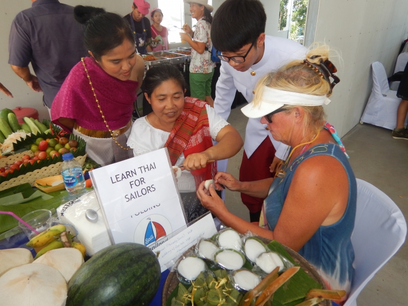
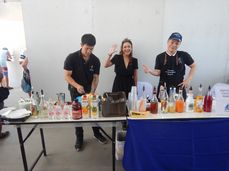

Spent a couple of days visiting a few hongs in Phang Na Bay, paddling around several islands and enjoying the scenery.

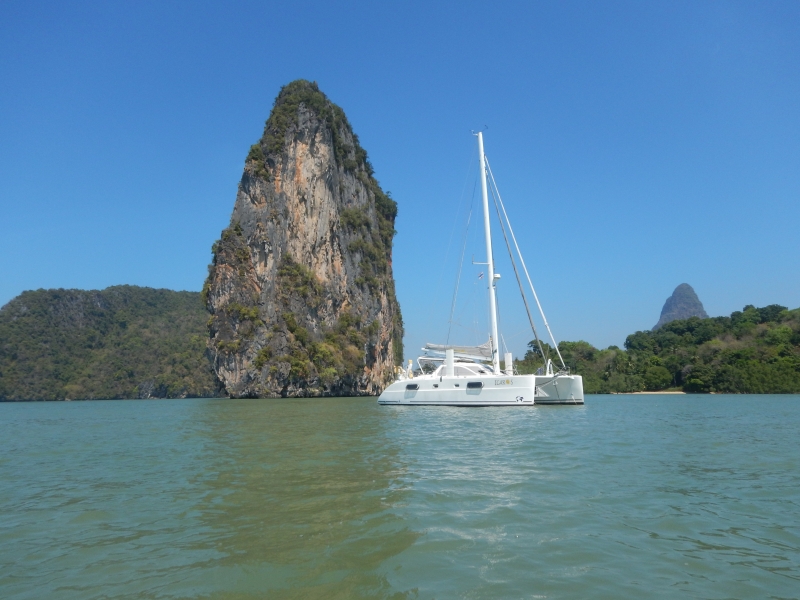
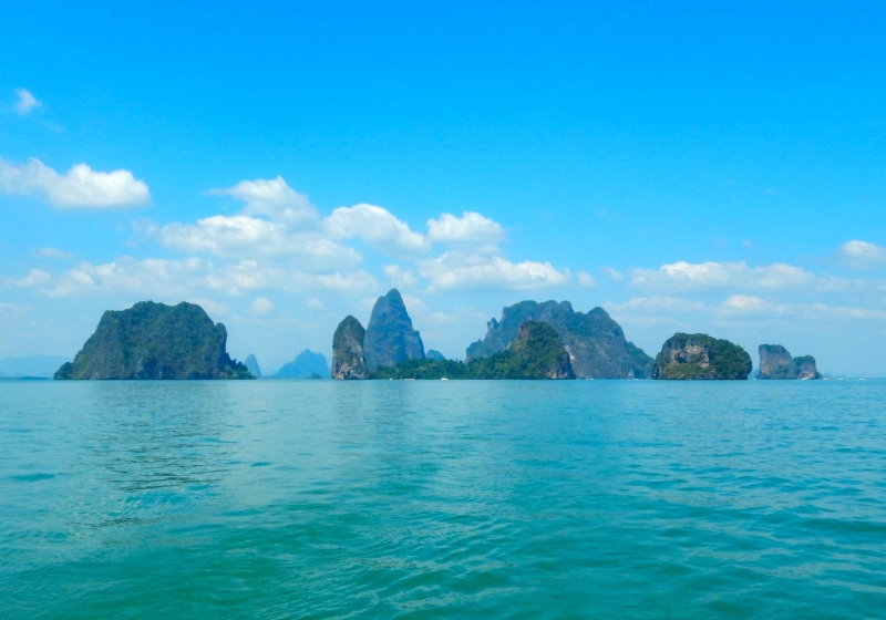

One of the Sail Thailand Rally activities was a beach clean up. We were joined by 20+ school children and about a dozen adults from a nearby resort. Only took an hour to fill several bags and this was quite a clean beach.


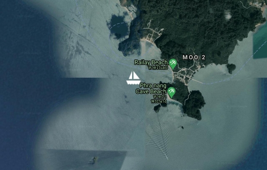
Exploring the islands near Krabi - along with hundreds - no thousands of incredibly noisy long tail boats.
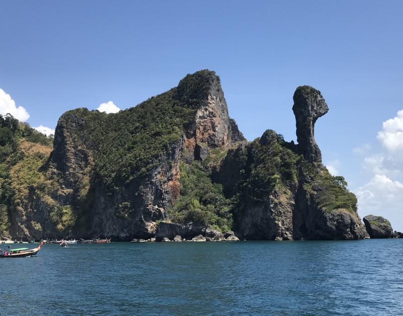

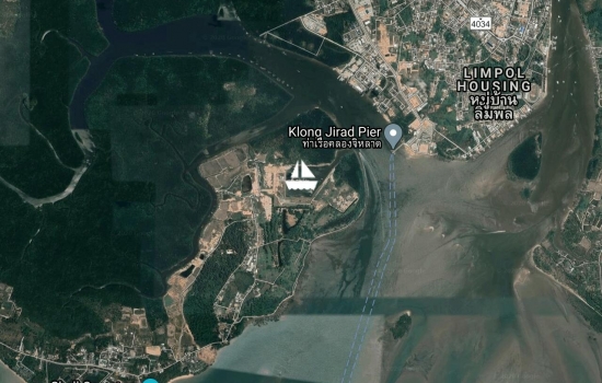
We are in Port Takola Marina near Krabi with its lovely karst landscape in the background. Have spent a bit of time enjoying their new restaurant/bar complete with live entertainment.
Ventured into Krabi town to find a shop to check that our main sail winch motor was OK. Have replaced a control box for the winches & so far so good.
Another day we rented a long tail boat with several other Rally members and visited a Muslim village community living on a nearby island. We checked out their rice farming, fish & crab farming, model boat building, wood carving, batik printing as well as one of their Seafood restaurants.


The past couple of days in Nai Harn Bay were spent socializing & saying goodbye to many. Thailand is a crossroads for our cruising friends. Some will remain in SE Asia for awhile, some will head to the Med, some will return to Australia & some like us will head across the Indian Ocean towards South Africa.
Yesterday we sailed from Nai Harn Bay towards Krabi which is the next stop on our rally schedule. We are currently anchored below one of the King's palaces. So far - no invite.
An interesting day of sailing yesterday... When raising the main sail, the electric winch struggled to get it to the top of the mast and then died - along with all the electrics. Not sure why it just didn't trip a breaker? We could get all the electrics going again but had to avoid using any of the electric winches (head sail & anchor) or they would knock out the electrics. Fun & games. Shall have to use man power until we get this winch motor sorted.

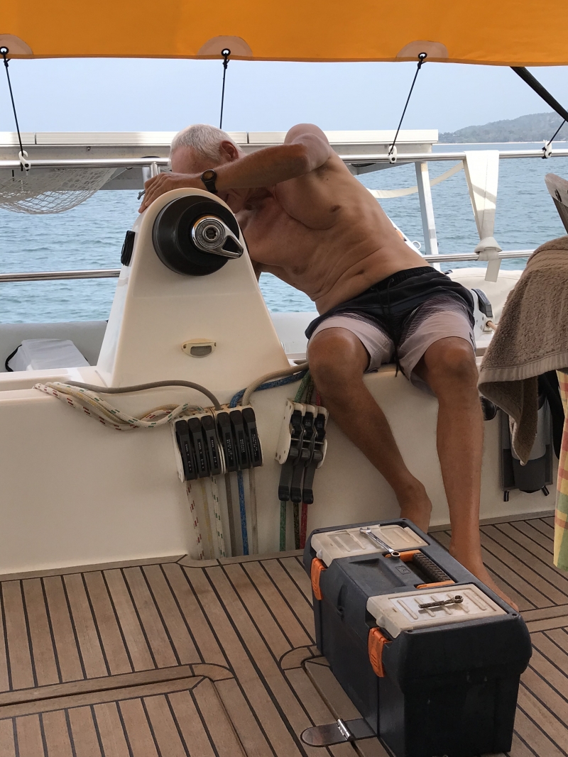
Hellooooooo dear Bev and Bob,
We headed back to Nai Harn Bay yesterday so we could join a bunch of our Aussie mates and celebrate Australia Day.
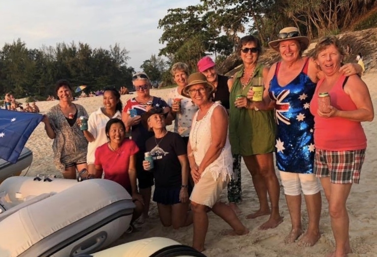


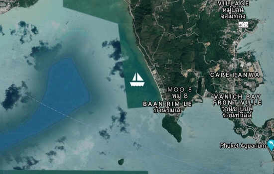
Day 2 of the Rally saw us visiting a Pearl farm in a nearby bay. About 1500 oysters hanging around in cages for 1.5 years. They don't have to feed them but they do have to clean off the barnacles & other sea growth each month. Then we were off to a rum factory... Need I say anything more !! Up to the highest point on Phuket Island to see Big Buddha and enjoy the views. The day was topped off with a terrific buffet dinner & excellent cultural theatre show at Siam Niramit.
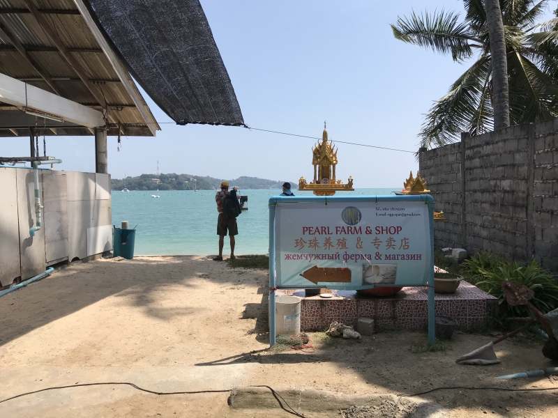


We've come back into Ao Chalong to join up with the Sail Thailand Rally. Had a very nice lunch with everyone at the Phuket Yacht Club. There's only about a dozen boats in this Rally . We already know three of the boats. So nice to catch up with them as well as meet several others.


We have settled back into Nai Harn Bay at the South end of Phuket Island. A nice protected bay in this NE season. We're trying to have our days start with an early morning walk up to the lookout with sometimes a stop at a French Boulangerie on the way back. Lots of restaurants & fresh fruit vendors ashore to keep us happy. There's even a couple of reasonable snorkeling spots in the bay.
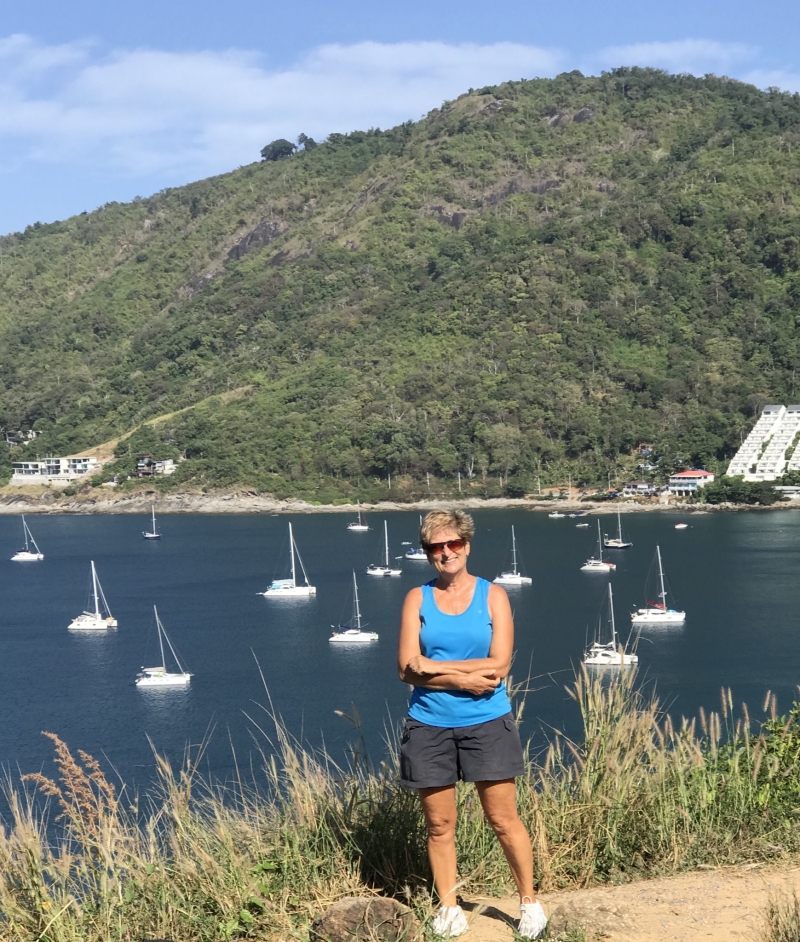
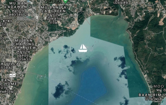
The Big Buddha is having a bit of trouble watching us through the clouds. An uneventful past 24 hours with not much wind or rain. The storm has passed us by but we may see a day or two of rainy conditions. We have our rain collection gear in place to try and catch some !!


Anchored at the top end of Ao Chalong under the watchful eyes of Big Buddha. The calm before the storm? Eerily quiet this morning. This bay is usually a hive of boating activity but there has been a ban placed on all boats leaving port until Tropical Storm Pabuk passes by. The eastern coast of this part of Thailand will bear the brunt of the storm & we should only feel the after effects - fingers crossed !!
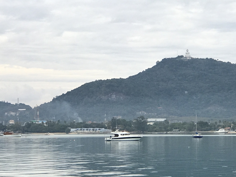
Hi Bev and Bob, Hope that
Thanks for your kind thoughts
We took advantage of some favourable breezes and have returned to Nai Harn Bay at Phuket. The weather forecast has a tropical storm moving into the area in the next couple of days. We shall move up the east coast of Phuket and find a snug anchorage.
Off to the Surin Islands for a few days - hoping for some nice snorkeling & diving
Arrived into Koh Phayam after a pleasant overnight sail & motor from Phuket. Glorious full moon. Will spend a few days here over Christmas with a few other boats we know. Merry Christmas!!


While you were enjoying the

Avg: 7knts
24hr: 168.9nm
The wind changed more northerly last night and our anchorage became rolly and uncomfortable. So upon first light we up anchored and headed off. We had a favourable breeze with a good enough angle to make our way to Nai Harn Bay just SW of Phuket. It was nearly 60 miles and we were sailing along quite nicely until the main sail fell down. The webbing holding the top of the sail to the aluminium headboard gave way. Not impressed as we had just recently taken our sails in for a check.


Can they fix it in Phuket
Looks like - contacted the
Another great day of sailing finds us at Koh Rok Nok. We had a new auto pilot computer installed at Langkawi so have been kept busy figuring it out. Calibrating, adjusting etc. to stop it alarming and over correcting especially in following seas.
Park fees here are 400 baht per person & 100 baht for the boat - valid for five days. So we have decided to stop a day & enjoy the place. No use getting to Phuket too early as we will get charged extra if arriving on the weekend.

Checked out of Langkawi yesterday & today we find ourselves in Thailand at Koh Lipe. So nice to be in clean clear water again!! Had a glorious sail here & the weather forecast looks conducive to more good sailing for the next few days to get us up to Phuket to check in. Bridget joined us a few days ago in Langkawi and will accompany us to Phuket. Now to get ashore & find us a Thai restaurant.


Had a pleasant overnight sail to Langkawi. Plenty of lightening and dodged a few rain clouds along the way in spite of 'No Rain' in the forecast. Had hoped to spend a few days at anchor before checking into the marina to have a few electrical issues attended to. But discovered our anchor winch is good at letting out the anchor and chain but not happy bringing it back up again. So... here we are ... happy to be in the Royal Langkawi Yacht Club Marina. Oh and another thing to fix - the autopilot.

Avg: 6.3knts
24hr: 151.2nm
We are anchor down about 20 miles S of Pangkor Marina and shall head in first thing in the morning. Had a good run up the Malacca Straight. Had some heavy rain and nasty winds last night during the Captain's watch but otherwise a good trip.
Welcome back to your second
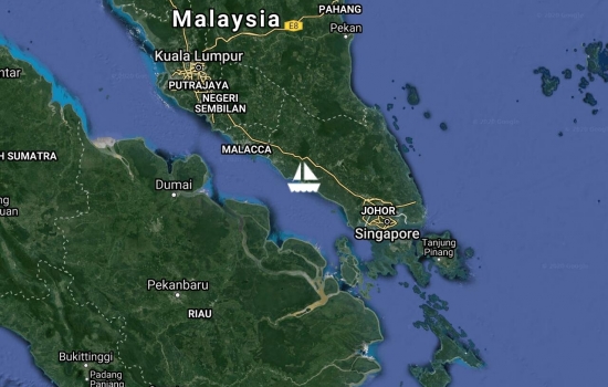
Avg: 2.7knts
24hr: 64.1nm
Had a nice run around Singapore yesterday with helpful currents and a pleasant S breeze. We overnighted at Pulau Pisang. Departed early this morning with a favourable tidal flow but the forecasted S wind seems to be coming from the N. And did I mention our fridge quit yesterday...
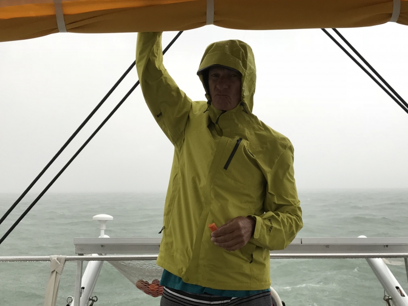

Just leaving Tioman Island. We were here a bit longer than expected. The 'little black boxes' on our new engines decided to fail so we have been waiting until today for Volvo to supply replacements. The little black box aka MDI aka mechanical diesel interface controls the start, stop and all the sensors. First one failed then a few days later the other one. Tioman was not a bad place to be stranded and we had company. First Donna, our friend from Townsville, then several rally boats and other cruisers visited the anchorage. We checked out most of the restaurants ashore.
Now we'll head towards the Singapore strait and then make our way up the west coast of Malaysia to Pangkor Marina. We're motoring into a light southerly and will hope for some favourable winds after we round the corner
Glad to hear your engine
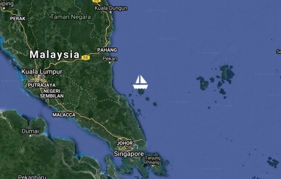
Had a lovely sail from Sebana Cove to Tioman Island with 15-20k SSE for most of the night. Arrived into a glassy calm anchorage & ready to dive in.

Just received an

A bit of a bash and plenty of motoring to get us back from the Anambas Islands via Tioman Island. We shall leave Icaros in Sebana Cove Marina while we fly back to Canada to visit family & friends.
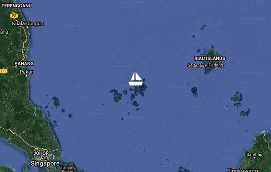
Avg: 2.6knts
24hr: 63.2nm
Arrived into Tarempa in the Anambas Islands after motoring most of the way. Found some wind as we approached the islands! Some rally activities here tomorrow with 26 boats in attendance. Then we shall spend the next couple of weeks exploring the islands. Their communications cable has been broken so only basic internet, emails and SMS messages going through sporadically. Not sure how I am going to cope with being offline for the next three weeks...
Have been following your
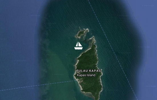
Left Kuala Terengganu yesterday afternoon and have stopped at Kapas Island. Enjoying this lovely spot again and waiting a day or two for some wind to develop to take us the 215 miles to Tarempa, Anambas islands, Indonesia.
After several glorious days at Redang Island, we actually had a couple of hours sailing towards Kuala Terengganu - before the wind faded. A large city with lots to see and do in the area - could certainly spend more time here. A good spot to provision before heading off to the remote Anambas Islands on Sunday.


Woke up about midnight last night due to mosquitoes feasting on us. Noticed a nice breeze blowing so brought up the anchor and now we find ourselves at Redang Island. Rally events will include a visit to a turtle sanctuary, games on the beach and a high tea / reception at the Taaras Resort.
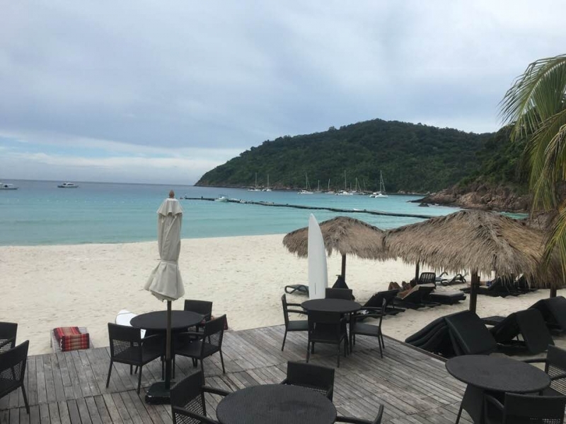
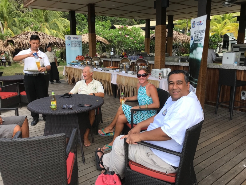
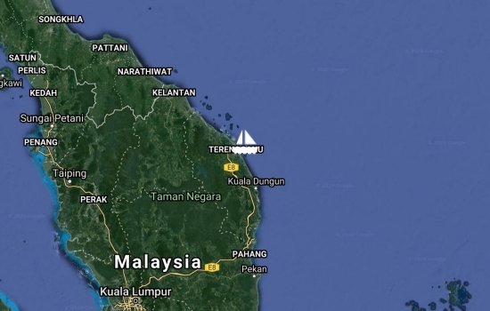
Overnight motor/sail from Tioman Island to Kapas Island was quite pleasant until we got soaked first thing this morning. Kapas Island is quite picturesque with a few resorts & supposed to be some good snorkeling & diving. Rally get together tomorrow for a cricket game & BBQ on the beach.
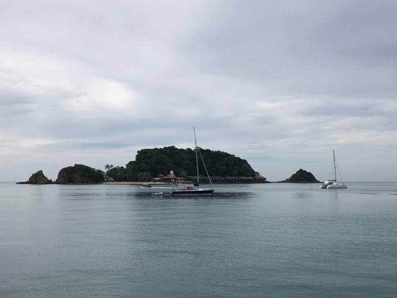
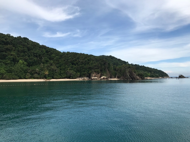
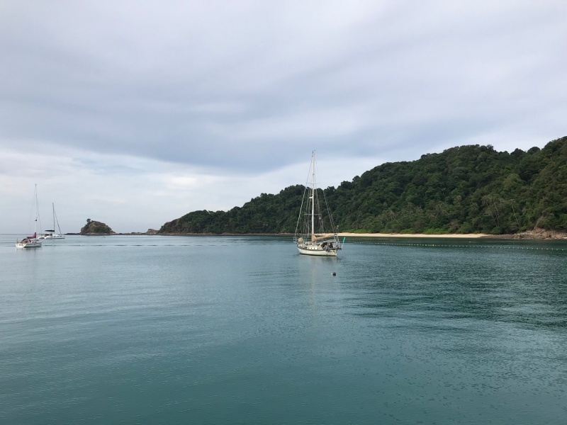

Arrived into Tioman Island first thing in the morning after an overnight motor / sail from Sebana Cove. Had a couple of thunderstorms with lightening and heavy rain along the way. Lost the AIS for about a half hour but thankfully it recovered.
Say G'day to Tioman for me -
Looks like a nice spot but
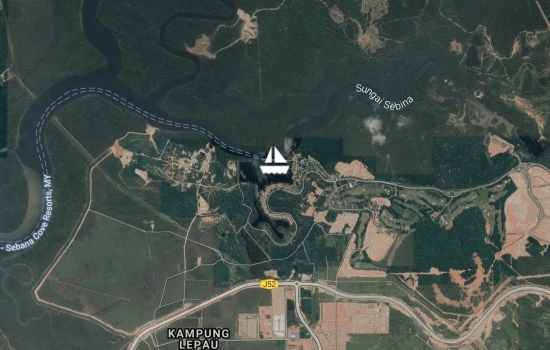
Sailed around the south side of Singapore yesterday from west to east. A bit nerve wracking at times with a couple of ships coming quite close and giving us a warning honk. Hundreds of ships on the AIS making the screen too cluttered to be helpful so needed to keep a close lookout. Many ships at anchor and hard to differentiate the ones coming at you compared to the ones just sitting. Now we are at a quiet marina resort several miles up a river called Sebana Cove. It was built many years ago to be a gambling get away for the Singaporeans - then Singapore legalised gambling.
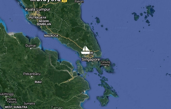
Caught a large plastic tarp in one of the props near Pangkor Island and Bob went for a swim to untangle. The rest of the two day motorsail from Pangkor Marina to Puteri Marina was pleasant and uneventful. A bit nerve wracking going under the Johor-Singapore Second Link Bridge with its 25m clearance. Made it into Puteri just before an afternoon thunderstorm. We are here for the official start to the Sail Malaysia - Passage to the East Rally.


Arrived back to Pangkor in time to score the last available berth in the marina and attend the rally dinner / briefing. Good to catch up with many from our Sail 2 Indonesia rally. 38 boats registered so far in the Sail Malaysia - Passage to the East rally. Shall be here a few days. Time for the engines first oil change and also installing a new trampoline.
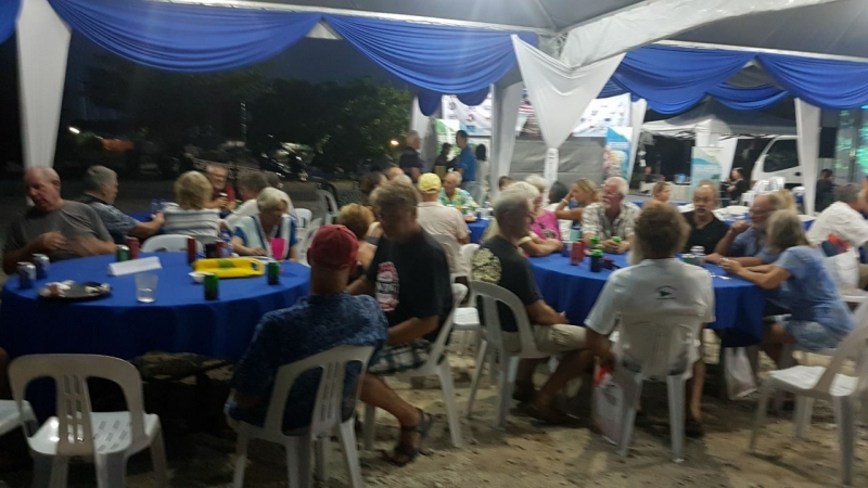
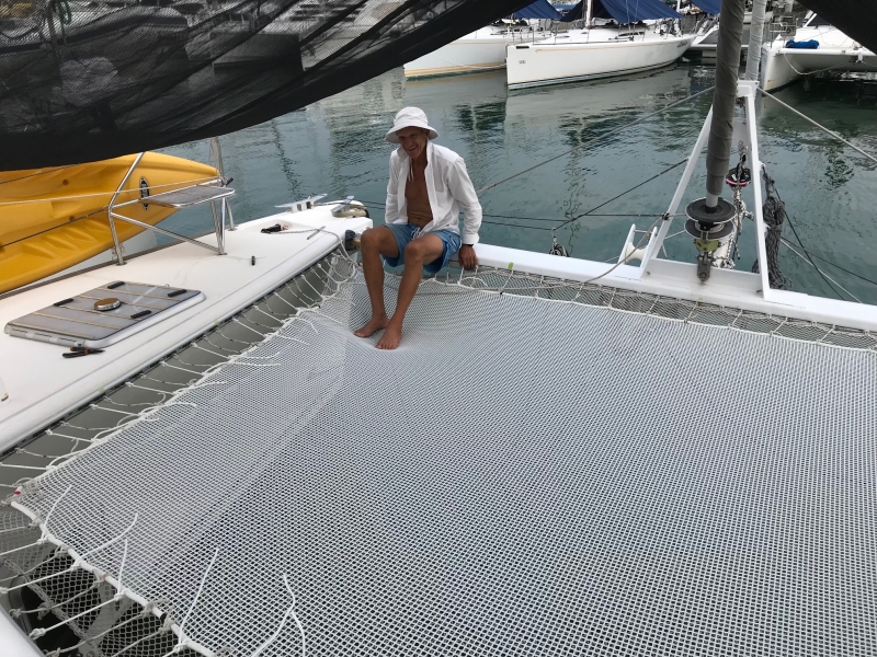

Berthed at Royal Langkawi Yacht Club Marina for a week or two. Rewiring the boat with Mastervolt / C-Zone system.


Arrived into Chalong Bay, Phuket last Friday after a pleasant 3 day motor & sail from Langkawi. New motors working great !! Since then have caught up with several of our Sail 2 Indonesia & Malaysia mates in Nai Harn Bay, done a few dives on Koh Racha Yai and now anchored on the S side of Koh Hi. Shall head north into Phang Nga Bay tomorrow and visit some 'hongs'.


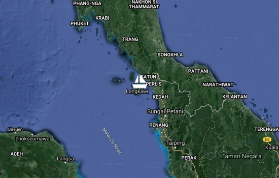
Had a great overnight sail from Pangkor up to Langkawi. Didn't get much of a chance to test out our new engines - but they'll be plenty more opportunities for that !!

Avg: 3.4knts
24hr: 81.5nm
We have arrived into Pangkor Marina.The past couple of days were a tough slug with the breeze on the nose, several squalls, many fishermen and tugs to dodge, significant adverse tides - but that's about all we have to complain about !! Currently enjoying a pizza and a nice glass of red - life is good.
Glad you made it okay. I am
Glad to hear you were able to
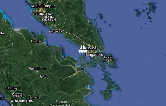
Avg: 6.7knts
24hr: 161.1nm
Had to dodge some fishing nets last night. Thankfully we had a glorious full moon and clear skies. Crossed the busy Malacca Strait with no problems first thing this morning.
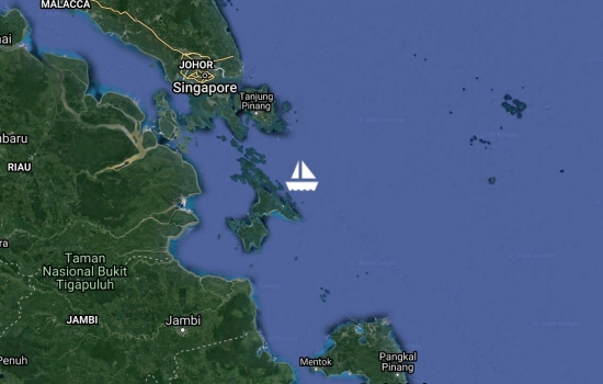
Crossed the equator earlier this morning about 100 miles SE of Singapore. Lots of motoring the past couple of days
as the only winds we get are associated with passing thunderstorms.
The winds are mostly light and tend to clock around us and then die out - so challenging conditions for sailing.
We will cross the busy Malacca Strait just west of Singapore and then continue up the Malaysian west coast about 270 more miles to Pangkor.
Michel from S/V Carmina told us that David (Gulf Harbour Radio) received a stent and is feeling much better. Wonderful news !!
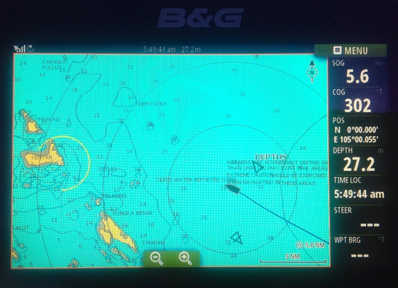
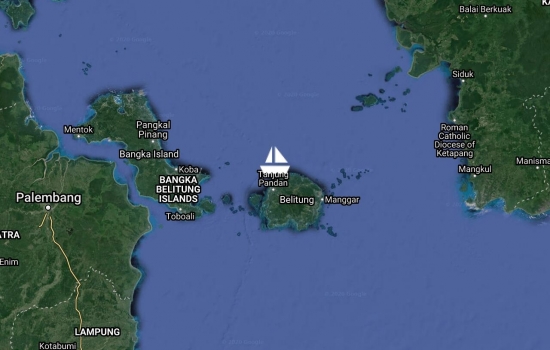
Arrived at Belitung yesterday afternoon in time for an afternoon thundershower. It was a slow trip - just over four days -from Bali with light winds and more motoring than sailing. Lots of fishing boats along the way but no problems with any.
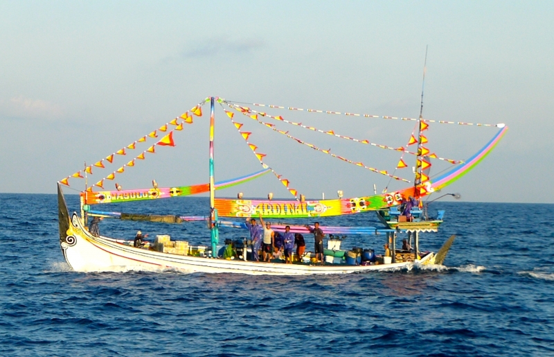
Good to read that you are
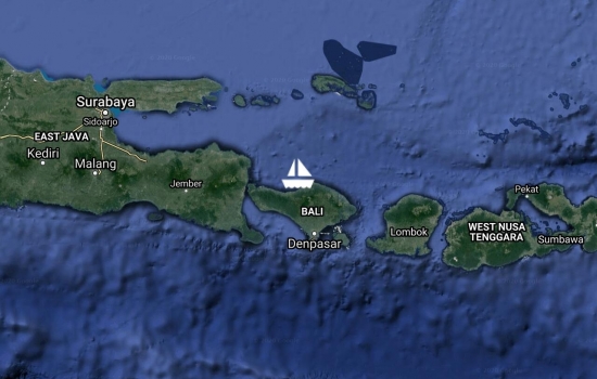
After a boisterous sail across the Lombok Strait we stopped at Ambat for the night. We did some snorkeling but were not impressed. Yesterday we motored most of the day to Lovina Beach on the north coast of Bali and were greeted by a huge festival on the beach.


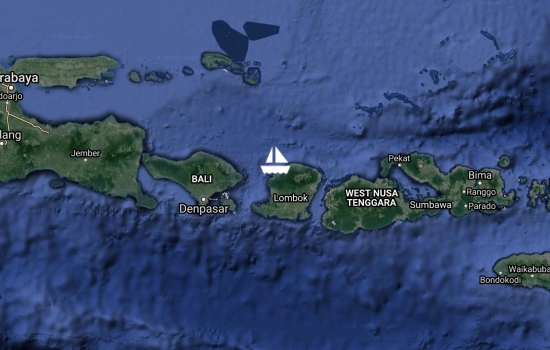
Arrived into Medana Bay, Lombok after a quiet two day motor sail from Komodo Island. Saw only the occasional fisherman and the route had many commercial vessels. Shall get our visa extension processed here. There is a dinghy dock and a restaurant ashore - perfect.
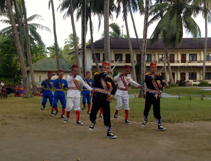


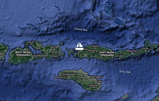
Arrived yesterday afternoon and we are anchored just south of the main town and harbour of Labuan Bajo. There is a welcoming resort ashore with bar, restaurant and apparently we can even use their swimming pool !! This is quite a touristy area with a busy airport and we are just next door to the Komodo National Park which we hope to get out and explore over the next few days.
Getting along OK with one engine. Would be good to find a diesel mechanic - maybe further along in Lombok or Bali. There is a Volvo dealer in eastern Java. Or maybe we'll make our way up to Singapore or Malaysia to get repairs done.
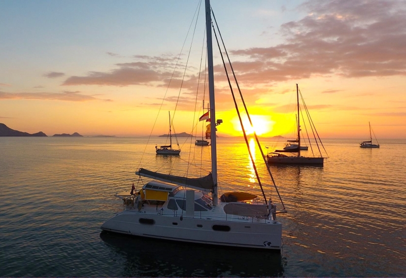
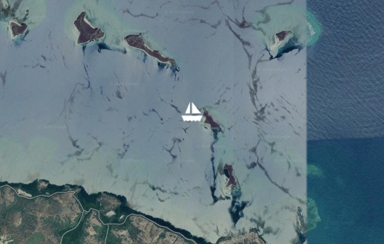
Just about to Riung when we spotted a nice little island so stopped to swim and snorkel. Unfortunately the Captain has been head down, bum up in one of the engine compartments - as there was oil everywhere. Blocked ventilation valve / damaged piston ring ?? At times like this it's nice to have two engines.
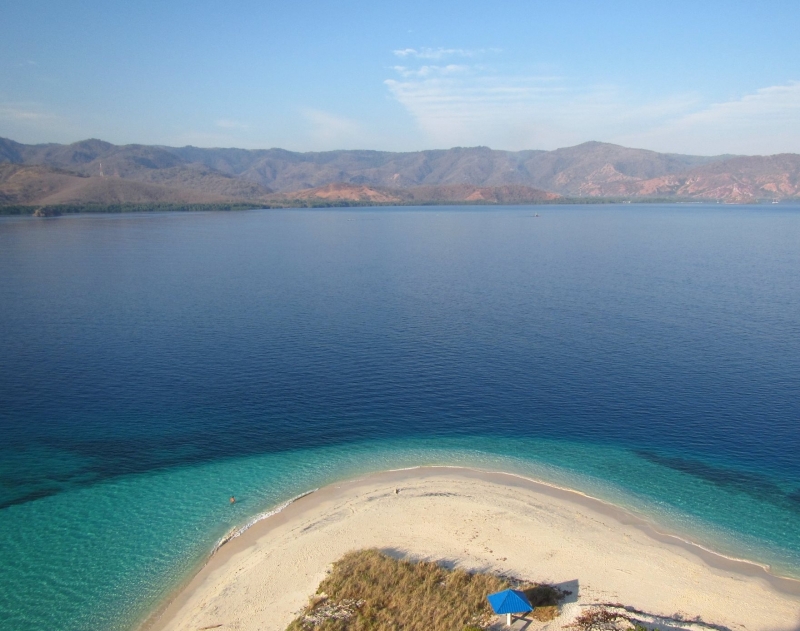
Sounds like a lot of nice

We have arrived into Maurole which is quite rolly with the afternoon breeze. Stopped enroute overnight with Kinabalu at Batu Boga East anchorage where we enjoyed some good snorkeling and a dive this morning.


Maumere - Had a great sail here with Nauti Nauti, Our Reflections, Sedna, Runaway, Chase the Cat, and Irie. Have rejoined many others here that we haven't seen since Debut. Anchored off a resort and is that a bar and restaurant on the beach ?! The landscape is much different here - very dry looking so I've put my rain collection gear away.
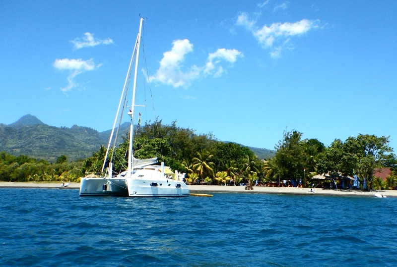
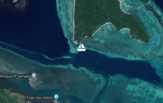
Yesterday we had a nice sail around to Hoga Island. There are 10 other rally boats here and at least a couple more will follow us from Wangi Wangi today. Looking forward to some nice quiet peaceful days of snorkeling and diving plus we'll check out a nearby restaurant that has been getting some rave reviews from other cruisers.


I spent the day golfing in 30

Tucked into a lovely lagoon at Wangi Wangi, Wakatobi Marine National Park. Indonesian Independence Day tomorrow and the festivities are underway already. Shall take a look on shore and then try to find some good dive spots over the next few days.


Unfortunately, out of our fleet of over 60 boats only 15 boats showed up here – which has been very disappointing for our hosts who have gone to so much trouble and preparation. Our next stop is 40 miles upwind and also a well-known dive location so many boats headed directly there. Also several boats with mechanical problems or crew changes have headed to bigger centres.
We have been anchored off a small fishing village. The small basic houses are on stilts and the main road through the village was paved just a few days ago in preparation for our arrival. We have enjoyed touring the surroundings – the remains of an ancient fortress, a freshwater sinkhole / swimming pool, a turtle conservatory, a mangrove island where they are establishing an organic rice industry and visiting the local market. Last night we were invited to the Regent’s house for tea and cake and then to a nearby venue for a gala dinner complete with traditional dancing and a feast of traditional foods including lobster and crab.


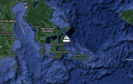
Avg: 2.6knts
24hr: 61.6nm
Just arriving into North Buton Island after a two night / one day pleasant sail. A couple of boats (Billaroo and Muscat II) arrived yesterday afternoon and report being warmly welcomed and there is a small village ashore. Apparently this is the first time this location has hosted rally boats so we are bound to be a bit of a novelty. We have found that every child from about age 10 and every adult is equipped with a smartphone and anxious to take several 'selfies' with us.
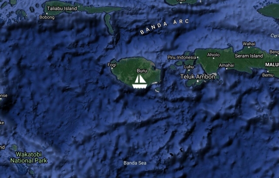
Avg: 12.5knts
24hr: 300.5nm
Arrived into Namrole harbour, South Buru Island at midnight. A small rolly anchorage next to a busy wharf. Had thought the wind was going to drop out and it would be a slow sail - but instead we had a glorious beam reach with full main and Code 0 and made great time.
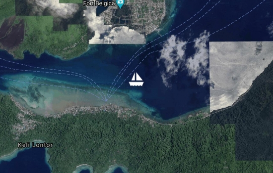
Unfortunately, Bev was boat bound the first couple of days with a tummy bug and we missed some of the planned activities. Very interesting stop with remnants of colonial architecture and old forts, markets of fish, fruit and veg, a volcano to climb complete with lava flow into the bay with nice snorkeling, attended a cooking class and enjoyed lots of great food.
 with old fort in foreground")


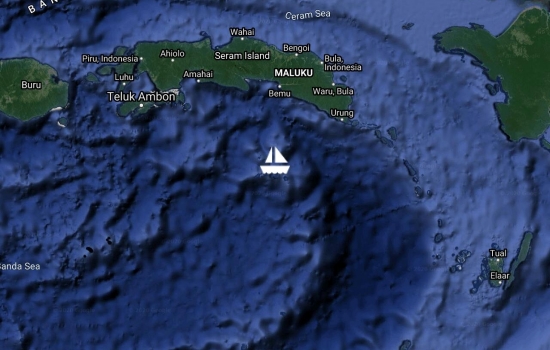
Had a nice overnight sail from Debut to Banda Island in company with several other boats. We are anchored near a volcano which seems quiet at the moment. Banda Island had it made in the past with their nutmeg and mace trade but then the Europeans got involved ... Looking forward to getting ashore and checking it out.
Now up-to-date with your
checking in procedures took longer than expected. Quarantine visited us Sat evening and Customs on Sunday and then we were able to collect our paperwork on shore yesterday. A fun atmosphere in the anchorage despite the long frustrating wait to get checked in. Went on a tour / crowded mini bus ride to a couple of beaches and markets yesterday. Lovely friendly people ashore. Welcome ceremony and rally info meeting scheduled for today. Hope to get some internet sorted today...

Avg: 2.9knts
24hr: 70.3nm
Our timing was impeccable !! Anchor down at Debut and all settled in with glass in hand just before the rain set in.
Looking forward to a nice long sleep and new adventures in a new land tomorrow.
Avg: 6.5knts
24hr: 155.6nm
Encountered numerous squid boats at dusk and then had a quiet night. Have reduced our head sail to a snippet and hope to arrive this afternoon. The officials should be there tomorrow morning for check-in. Looking forward to anchor down and meeting the rest of the fleet as they arrive over the next couple of days. 33 miles to go.
Avg: 8knts
24hr: 191.7nm
A quiet night with no fishing boats or nets - maybe it was their day off. Forecast is for lighter winds so we have raised the main sail to gain some more speed and hopefully get us there Fri pm before the wind drops out. 170 miles to go.

Avg: 7.4knts
24hr: 176.6nm
Hurray !! For we are halfway between Torres Strait and Debut (S of Tual) Indonesia. We have been travelling with just the head sail - no main- and life is quite uncomplicated and easy. Why haven't we been sailing like this for the past four years ?!?! We encountered our first fishing net last night and luckily crossed it without becoming entangled. The past couple of nights, two other boats that we know of have become entangled in nets and both have been able to continue on OK.
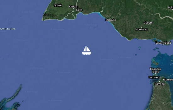
Avg: 7.6knts
24hr: 182.6nm
A lovely day yesterday but a stressful early morning today as we wove our way through countless brightly lit fishing boats. One rally boat (Scott-free) ahead of us being tended to now by Search and Rescue aircraft as they became entangled in a net? last evening.
Avg: 7.9knts
24hr: 189.1nm
A windy squally night but we have arrived safely this morning into a lovely calm Arafura Sea. Several other rally boats departing Thursday Island as we zip through the strait with a favourable current. Looking forward to a relaxing few days as we coast along and try to time our arrival for later in the week.
Avg: 4.2knts
24hr: 101.3nm
Had a good sail overnight. In company with 8 other rally boats. Shall enter Bligh Entrance to the shipping channel of Torres Strait about midday. Bloody bird pooped on my paddle board...
Getting our clearance papers this afternoon and will probably depart tomorrow (Saturday). Topped up with diesel and even more groceries as we found lots of Australian products in the stores - hope we can still sail with all the extra weight aboard !!
Just caught up with you on
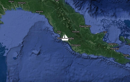
Avg: 4.8knts
24hr: 116nm
Arrived into Port Moresby marina late last night. Anchored / moored beside "unwind". Shall clear Customs this morning and then move into a marina berth.

Avg: 7.5knts
24hr: 180.1nm
Some overnight showers twisted the wind and slowed our progress. Shall hope for some moonlight this evening to guide us into the anchorage area in the marina. 112 Miles to go to Port Moresby.
Avg: 7.7knts
24hr: 184.4nm
The wind has been lighter and we are back on starboard tack. Will not be a good day for the batteries unless the wind goes more easterly. 268miles to go to Port Moresby.

Avg: 8knts
24hr: 191.2nm
The wind shifted more easterly yesterday allowing us to jibe the main and expose the solar panels. Happy batteries make a happy Captain! The days are definitely warmer and more humid - wonderful. 427 miles to go to Port Moresby.
Looks like you're having a
Avg: 8.7knts
24hr: 208.3nm
Having a very nice run with steady breeze, sunny skies and moonlit nights. Hope it continues a few more days. 592 Miles to Port Moresby
Avg: 7.3knts
24hr: 174.1nm
great sailing. 769 to Port Moresby. All well on board.

Avg: 7.9knts
24hr: 190.3nm
Southerly swell has moved behind us to make a more comfortable ride. Hope it stays like this. Two boobies adopted us last night and have taken up residence on our stern solar panels. 925 miles to Port Moresby.
Great to see you have enjoyed
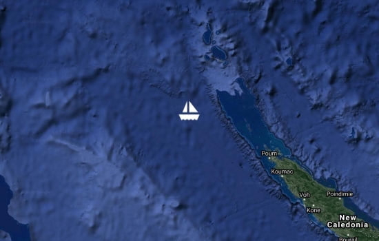
Avg: 4knts
24hr: 95nm
A long way to go to Port Moresby - 1087nm
After enjoying a beach BBQ in Baie Maa with several other Aussie cruisers (Kiapa, Aqualibrium, Bossa Nova, Supatroopa, Skellum, Mika, Easy Tiger) we sailed about 150 miles up the coast to Baie Gomen. Was getting a bit lumpy and breezy out there so tomorrow we shall move along inside the protection of the northern lagoon.
Arrived yesterday afternoon into Ile des Pins after a nice sail from the Baie de Prony area. We are anchored in Baie de Kanumera due to the westerly winds and looking forward to some exploring ashore in this glorious sunshine.
Avg: 5.7knts
24hr: 135.8nm
Have arrived to New Caledonia and about to enter the Amedee passage at daybreak.
Shall sit at anchor off Amedee Island until we can clear Customs & Immigration Monday am.
Glad to see you arrived safe
Avg: 6.2knts
24hr: 148.6nm
Slow sailing yesterday on a lumpy sea and NW breeze on the nose.
SW change last evening and have been sailing well since albeit still quite bumpy.
PS - It's SUNNY and WARM !!

Avg: 8.7knts
24hr: 208.5nm
Sailed really well yesterday until rain and squalls started in the evening. Reaching 35 knots at times. Slowly motor sailing now as wind has dropped and changed from NE to NW.

Avg: 8.7knts
24hr: 209.5nm
Pleasant beam reach with steady NE breeze. Sky cleared yesterday for a sunny day and starry night but overcast again now.
Avg: 7.6knts
24hr: 183.5nm
Wind has been changing back and forth between E and N with gusts to 25knts.
Avg: 6.3knts
24hr: 150.7nm
Light winds and flat seas as we left Opua yesterday. Pleasant night sailing and motor sailing as winds freshened to 15k at times. Have been in company with Kinabalu, Kiapa and Tortuga.
Good to see you finally cast

Still here in Opua but with any luck we'll set off for New Caledonia tomorrow morning.
Hi there B & B, hope you get

Enjoying a nice sunny calm day. Hope to head off in the next couple of days. Using the satellite phone to post this message so hope it works.
Same sea conditions here on

Here we are back in Opua enjoying catching up with other cruisers. Shall be a week or two before we take off. Waiting for a new sail and prodder to be installed. Also, it would be good if the fridge would be working before we take off !!
Enjoying Opua - catching up with others we've met along the way and meeting many more. Lots of boat services located here at the marina so we shall be kept busy trying to tick off items on our 'To Do List'.
Avg: 3knts
24hr: 70.8nm
reported arrived.
Avg: 6.2knts
24hr: 149.2nm
smelling the barn
Avg: 6knts
24hr: 144.5nm
263 to opua
Avg: 7knts
24hr: 166.9nm
430 to Opua
Avg: 6.9knts
24hr: 165.7nm
607 to Opua
Avg: 7.6knts
24hr: 182.3nm
756 to Opua
You're trucking along - is it
Avg: 8.8knts
24hr: 210.5nm
1085 to Opua
I am watching you. I see u r
Departed Lautoka 0930 for Opua. Motoring into 8-10 kn S winds with clear skies.
At anchor off Vuda Point Marina. Woke up to a cloudy, drizzly day with gusty southerly winds. Woke up a nearby monohull before they dragged onto the fringing reef. Sky now clearing with an easterly breeze 8-10kn.
Enjoying Musket Cove while waiting for a weather window to Opua, New Zealand
No blogs available for this yacht.
Hi there Bob and Bev,