Galilee
Avg: 4.6knts
24hr: 110.1nm
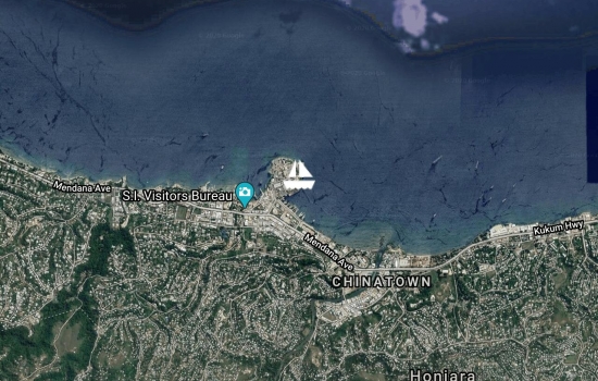
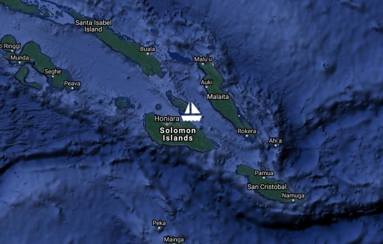
At Honiara quarantine & customs. In about an hour will be unloading donated cargo for local pre school, school, and art school.
Avg: 11.9knts
24hr: 286.2nm
Motoring all night to Honiara

Avg: 2.6knts
24hr: 62.6nm

Hi Doug.....looks like you

Avg: 6.8knts
24hr: 162.5nm
Plan to be at Honiara quarantine 8am Monday
Great progress. You'll be

Avg: 6.2knts
24hr: 149.6nm
Avg: 29.1knts
24hr: 698.4nm
Avg: 3.8knts
24hr: 91.1nm
Avg: 8.1knts
24hr: 194nm
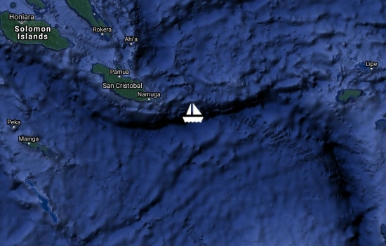
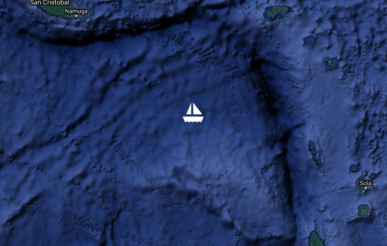
Heading for lee side San Cristobel. Getting thrown around.

Avg: 5.1knts
24hr: 122.6nm
On the way to Honiara

Sheltering from weather and expect to leave Monday towards Honiara

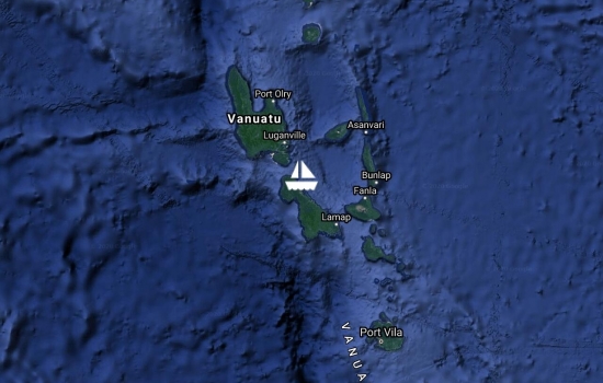
Enjoying a day in Luganville. An area with beautiful cool and clear fresh water swimming holes. Delivered to the local kindergarten books, educational materials and clothing which had been donated in NZ.
Arrived 22:00 Dec 8 local time. Hot and sticky. Boat running well at 6 knots
Left Port Vila last night and now in Havannah hArbour , North Efate. This was a very busy harbour during WW2 and there’s are many coke bottles to be found. A small museum on the shore of the harbour has a great collection as in those days each coke bottling company made their own bottles and put their city name on them.

Avg: 5.7knts
24hr: 136.8nm
Anchored at Port Vila and awaiting Customs. Presumably they will take a Yachting World mooring buoy and get familiar with this interesting town.
Their SSB antenna is damaged - they can receive but not transmit.Hi Patricia, An update from Galilee. Their SSB antenna is damaged - they can receive but not transmit. Yesterday we received via InReach. At 4:39pm NZ DST. Thanks to Rob for this.

Galilee has been at Prony , Isle of Pines, Now in route to Mare in the Loyalty Is thanks
Hi Doug....I just looked on
Ahoy Doug!
Avg: 3.6knts
24hr: 87.3nm
a good day to be in Noumea.

Avg: 6.7knts
24hr: 160.1nm
220nm form Noumea

Avg: 45.5knts
24hr: 1091.4nm
All OK. A man of few words!

Last evening, 20:49NZDST. Via In Reach -29.395401 Lon 168.681722

Have an ssb problem so will be reporting from their InReach system. GHradio will update this page when we receive them

Avg: 11.6knts
24hr: 279.4nm
at 19:26

Avg: 4.6knts
24hr: 110.3nm
At 17:ish

No blogs available for this yacht.
Joe, good to hear from you
Hello to Joe - good to hear