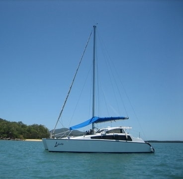
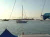
Liberty
FollowEasy 10.5 catamaran
1/1
Recent Updates
Liberty - December 1, 2018
Posted:

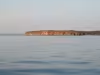
Crossed the gulf in an uneventful three days of motorsailing, arriving Seisia at sunrise on Monday. Loaded fuel and moved up the coast to Possession Island for the night. Rounded the tip on ... Read More
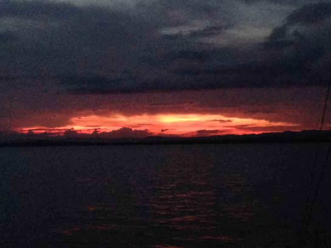
Liberty - November 21, 2018
Posted:
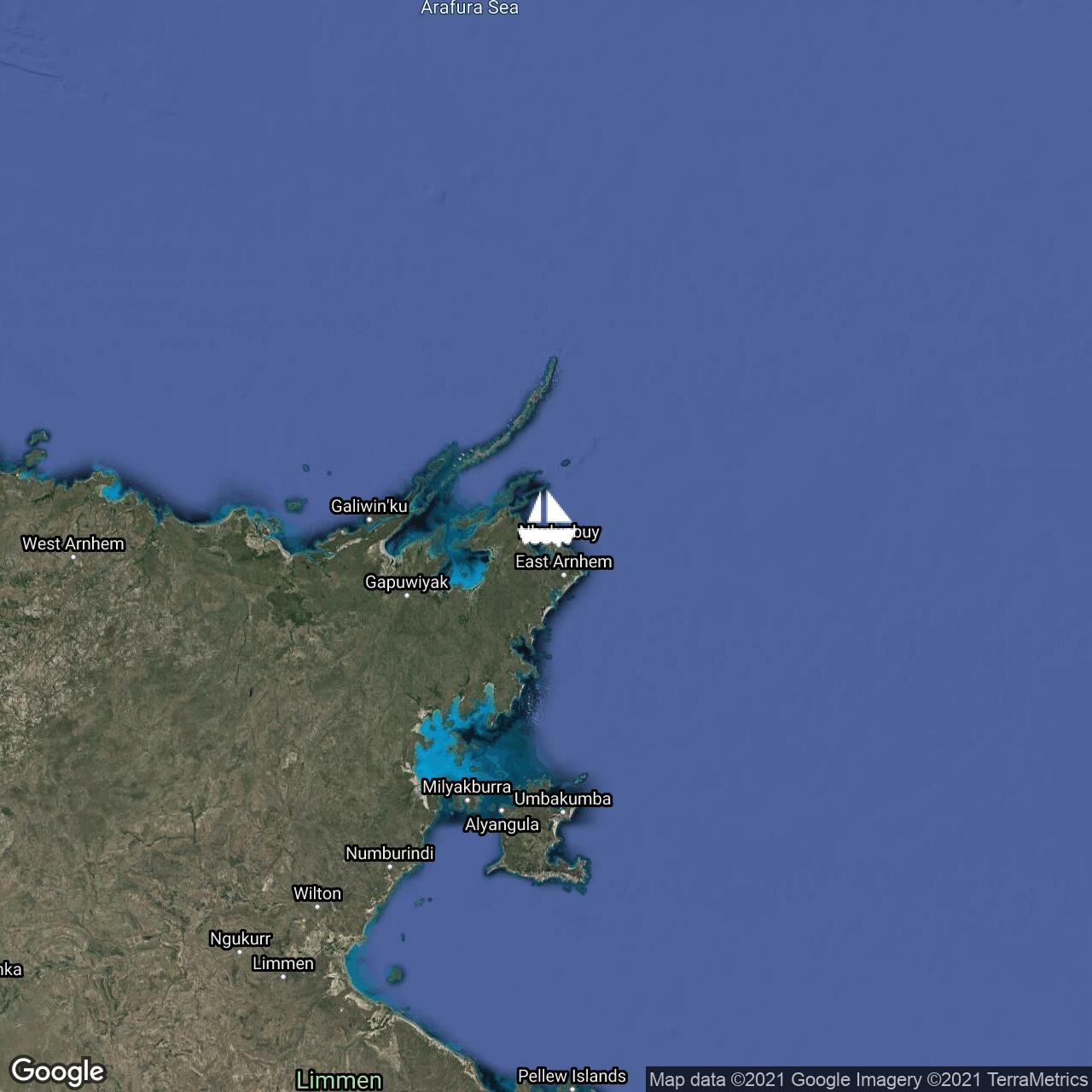
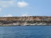
Arrived in Gove on Monday afternoon at the end of the best day so far of the trip. Left at 5 am to make the most of the calm conditions, and discovered a fabulous set of rocky islands full of ... Read More


Liberty - November 17, 2018
Posted:
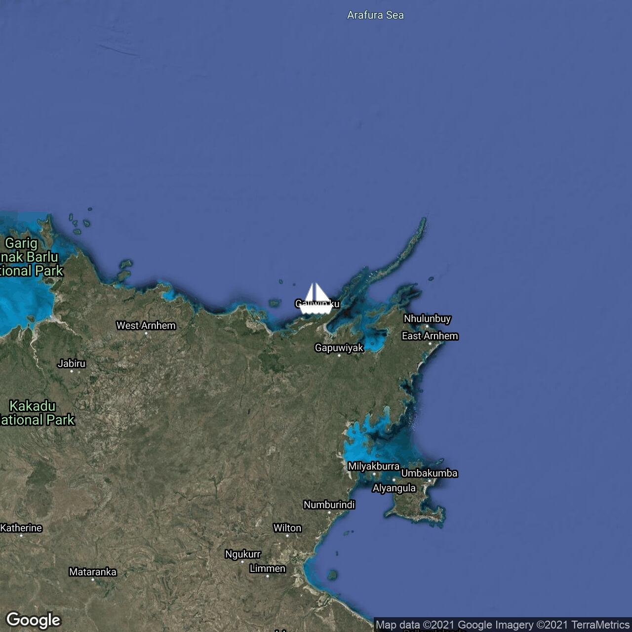
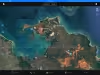
About to enter Cadell Strait which will take us under Elcho Island and out onto the Gulf of Carpentaria side. It has not been an easy passage along the Arnhem coast to this point.
Relentless ... Read More
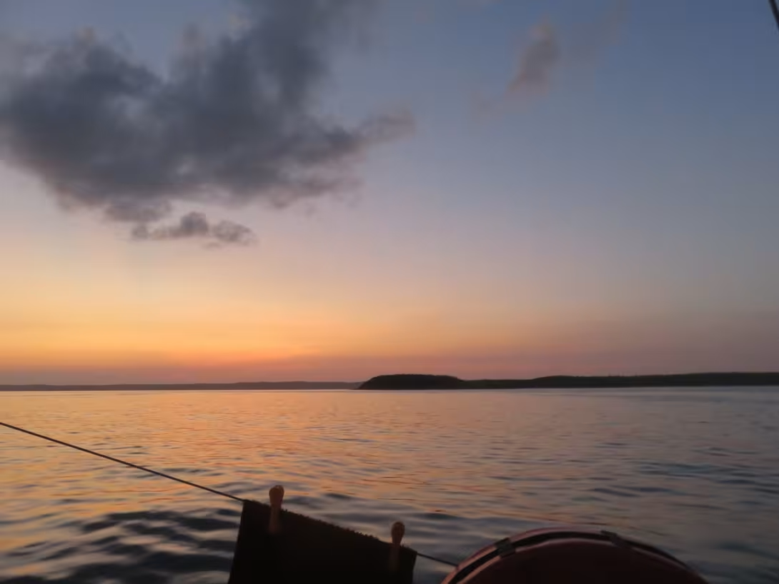
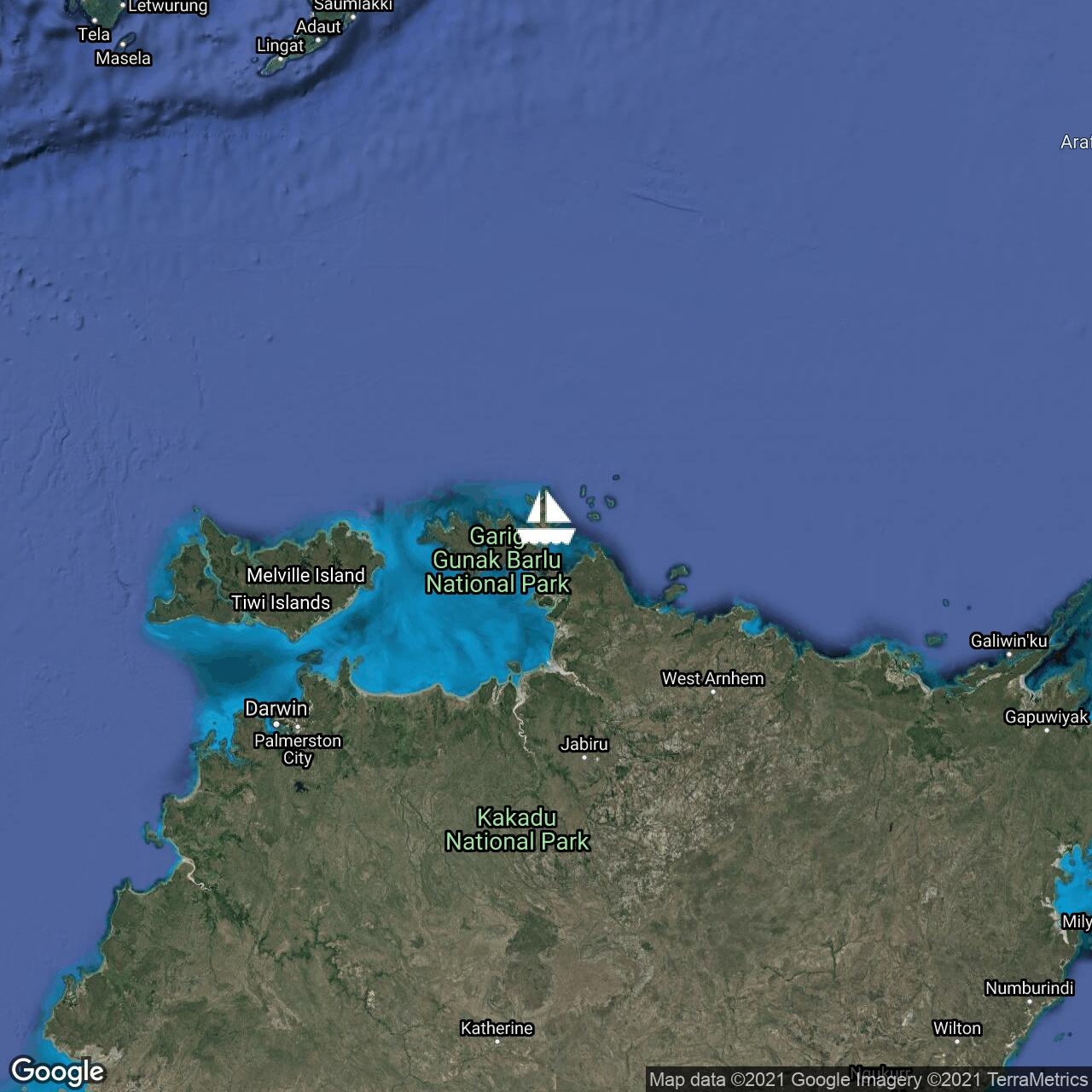
Liberty - November 11, 2018
Posted:
Anchored in Anuru Bay on the mainland opposite Sth Goulburn Is as sun set. Large, flat, shallow bay surrounded by usual flat, scrubby terrain. Will have a lay day tomorrow to make water and do some ... Read More
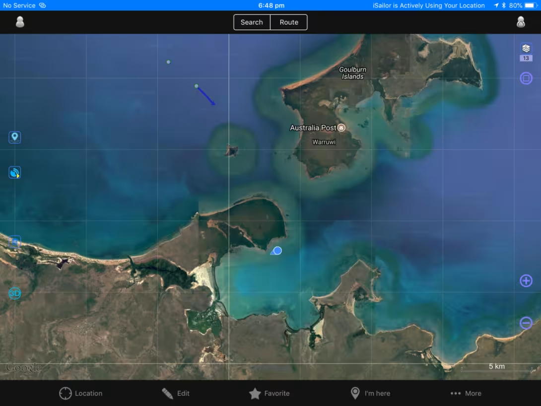
Liberty - November 11, 2018
Posted:
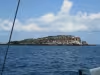
Just left Croker Island after three good days travel. A lot of motor sailing but some brilliant sailing as well. Heading for South Goulburn Is tonight.


Liberty - November 2, 2018
Posted:

In the final stages of preparation for the trip east to Cairns and beyond. Expecting to leave Monday 5 November. Aiming to arrive Cairns mid-December. Conditions are looking light but favourable.